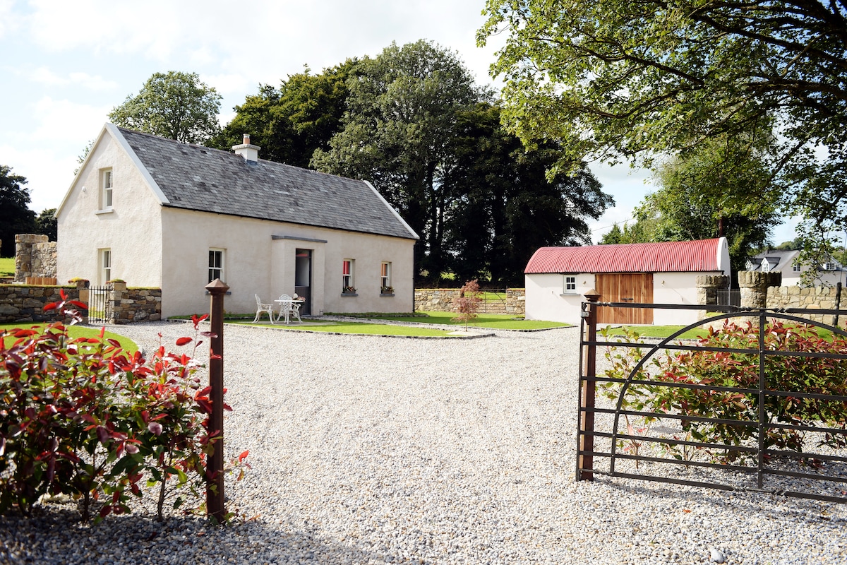
What is recorded here
In improved, rolling pasture, on an elevated area. Remains of circular area (diam. c. 35m) defined by a low bank (Wth 6.25m; int. H 0.1m; ext. H 0.15m) N-NNE and traces of scarp (Wth 2.5m; H 0.15m) NNE-SE. A townland boundary respects the monument from SE-W. It is visible on an aerial photograph (GSI R.514/13, 16/04/1974) as a circular enclosure. It was possibly levelled during land improvements c. 1984-5 (local information) and is defined only by a field boundary SE-W on a recent aerial photograph (ASIAP (116) 23 & 24; ASIAP (117)18). There is a ringfort (TS059-117----) c. 70m to the SE.
Compiled by: Jean Farrelly
Date of upload: 26 August 2011
The monument record does not grant public access. Check the route and ask the landowner before entering private land.
- What survives
- Recorded monument
Places near here
 Ballyhusty FortFairy fort / earthen ringfort · 145 yd
 European ashEuropean ash · 855 yd
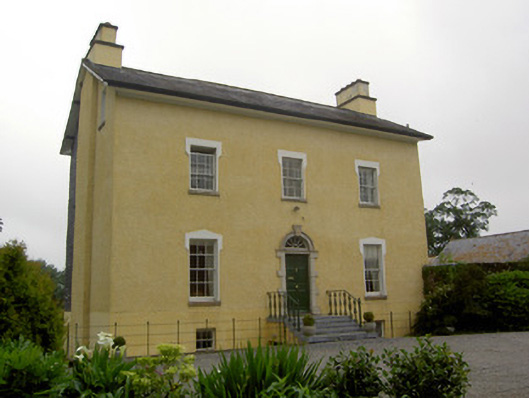 The Gleberectory/glebe/vicarage/curate's house · 1321 yd
 Site of ChurchChurch · 1404 yd
 Friarsfield Househouse · 1.1 mi
 Garranacanty MoatCastle, motte · 1.1 mi
 Dromline CastleCastle · 1.3 mi
 I.R.A. 3rd. Tipperary Brigade MemorialMemorial · 1.7 mi
 It's a long way to TippereryHeritage attraction · 2.3 mi
 The Maid of ErinMemorial · 2.5 mi
 The RockViewpoint · 4.0 mi
 Christ the KingViewpoint · 4.7 mi
Other information
Photo: Credit not shown in the picture search · Rights wording not checked; contact us if this picture should be removed