What is recorded here
In pasture, on a S-facing slope. Circular area (dims. 29m N-S; c. 30m E-W) defined by the remains of a low bank which has been reduced to scarp (Wth 5.5m; H 2.75m), a fosse (Wth 9.75m; D 1.25m) and outer bank (Wth 6.5m; int. H 1.25m; ext. H 0.85m) which is cut by a linear drainage channel (long axis WSW-ENE) which exits at the S. There is a heavy overgrowth of briars around the perimeter which obscure the scarp from SSW-E and the fosse completely. There is an entrance gap (Wth 2.4m) at the SSW. The interior is uneven in places and has a gentle S-facing slope. A field boundary (long axis N-S) skirts the monument at the E. There is an enclosure (TS059-116----) c. 70m to the NW.
In pasture, on a S-facing slope. Circular area (dims. 29m N-S; c. 30m E-W) defined by the remains of a low bank which has been reduced to scarp (Wth 5.5m; H 2.75m), a fosse (Wth 9.75m; D 1.25m) and outer bank (Wth 6.5m; int. H 1.25m; ext. H 0.85m) which is cut by a linear drainage channel (long axis WSW-ENE) which exits at the S. There is a heavy overgrowth of briars around the perimeter which obscure the scarp…
From the National Monuments Service (Archaeological Survey of Ireland) record TS059-117
The monument record does not grant public access. Check the route and ask the landowner before entering private land.
- What survives
- Recorded monument
Places near here
Photo credits
- Willow, Wikimedia Commons · CC BY 2.5
- National Inventory of Architectural Heritage
- Garry Dickinson, Wikimedia Commons · CC BY-SA 2.0
- Graham Horn, Wikimedia Commons · CC BY-SA 2.0
- Garry Dickinson, Geograph · CC BY-SA 2.0
- Colin Park, Geograph · CC BY-SA 2.0
- N Chadwick, Geograph · CC BY-SA 2.0
- N Chadwick, Wikimedia Commons · CC BY-SA 2.0
Enclosure in Ballyhusty,drumclieveEnclosure · 145 yd European ash712 ydThe GlebeRectory/glebe/vicarage/curate's house · 1440 ydSite of ChurchChurch · 1523 ydFriarsfield HouseHouse · 1.2 miI.r.a. 3rd. Tipperary Brigade MemorialMemorial · 1.7 miKilfeakle Castle (in ruins)Castle, tower house · 1.9 miThe Maid of ErinMemorial · 2.5 miBansha CastleCastle · 3.1 miThe RockViewpoint · 4.0 miChrist the KingViewpoint · 4.7 miGlen of AherlowViewpoint · 4.7 mi
 European ash712 yd
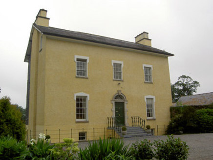 The GlebeRectory/glebe/vicarage/curate's house · 1440 ydSite of ChurchChurch · 1523 yd
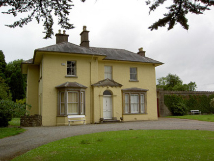 Friarsfield HouseHouse · 1.2 miI.r.a. 3rd. Tipperary Brigade MemorialMemorial · 1.7 mi
_-_geograph.org.uk_-_6501949.jpg/250px-Castles_of_Munster,_Kilfeakle,_Tipperary_(1)_-_geograph.org.uk_-_6501949.jpg "Photo: Garry Dickinson, Wikimedia Commons · CC BY-SA 2.0") Kilfeakle Castle (in ruins)Castle, tower house · 1.9 mi
Kilfeakle Castle (in ruins)Castle, tower house · 1.9 mi The Maid of ErinMemorial · 2.5 mi
 Bansha CastleCastle · 3.1 mi
 The RockViewpoint · 4.0 mi
 Christ the KingViewpoint · 4.7 mi
 Glen of AherlowViewpoint · 4.7 mi
More archaeology and monuments in County Tipperary · All of County Tipperary
What do you know about this place?