What is recorded here
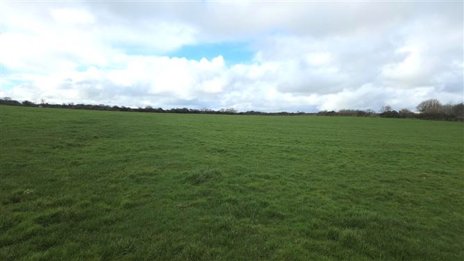
In the S half of the interior of a rath (SL018-021001-). Subrectangular area (4.6m N-S, c. 15m E–W) defined at N by a low bank (L c. 15m; Wth 3m) which extends E to meet the inner face of the bank at SE. A low bank also defines the W side and the SW corner. It may represent the remains of a house but it may simply be the remnants of an internal division within the rath. It abuts the NE side of another possible house (SL018-021002-), and there is possible hut site (SL018-021004-) to NW.
Compiled by: Patrick F. O'Donovan
Date of upload: 19 January 2011
The monument record does not grant public access. Check the route and ask the landowner before entering private land.
- What survives
- Recorded monument
Places near here
 IndicatedFairy fort / earthen ringfort · 13 yd
 Man-made underground passage in BallyeeskeenMan-made underground passage · 1104 yd
 Lady Margaret's TowerRuins · 1564 yd
 CastleCastle, tower house · 1638 yd
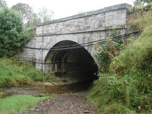 bridgebridge · 1675 yd
 Site of Dunneill CastleCastle, unclassified · 1.6 mi
 DonaghHeadland · 2.2 mi
 Aughris HeadHeadland · 4.0 mi
 Eamonn's TopMountain / peak · 4.2 mi
 Knockalongy South-West TopMountain / peak · 4.2 mi
 Aughris BeachBeach / strand · 4.2 mi
 Dunmoran StrandBeach / strand · 4.9 mi