What is recorded here
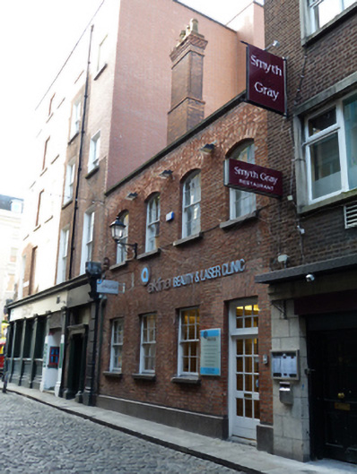
Attached four-bay two-storey commercial premises, built c.1880, now in use as beauty clinic. Hipped roof hidden behind red brick parapet with render coping, having stepped red brick chimneystack with clay pots. Red brick walls, laid in Flemish bond, having masonry plinth course. Square-headed and segmental-headed window openings with masonry sills and six-over-six pane timber sliding sash windows. Square-headed door opening having recent glazed timber framed door and overlight. Located to west side of Crow Street to north of junction with Dame Street.
This classically restrained building was constructed to infill a vacant plot on the west side of Crow Street in the second half of the nineteenth century. The well-balanced and unadorned façade is enhanced by the retention of timber sliding sash windows, which add a patina of age, while the tall ornamental chimneystack is particularly eyecatching. Crow Street was named after William Crowe who held land the area in the early seventeenth century and built a house called the ‘Crowes Nest’. The street it was laid out in 1731 on land which is shown as undeveloped on Charles Brooking’s map of Dublin dating to 1728. The area was fully developed by the middle of the eighteenth century and became a mixed residential and commercial quarter.
This does not grant access. Most recorded buildings are privately owned; view them only from public ground unless the owner allows entry.
Places near here
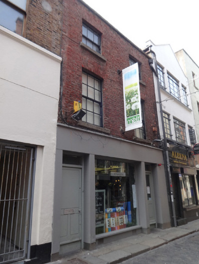 Meltprint works · 36 yd
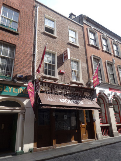 Montys of Kathmanduhouse · 58 yd
 Holy well in Unknown TownlandHoly well · 121 yd
 Tourist Information CentreVisitor information · 195 yd
 Dublin City HallHeritage attraction · 249 yd
 Battle of DublinMajor battlefield · 260 yd
 Dublin Castlegates/railings/walls · 289 yd
 Newcomen BankVisitor information · 293 yd
 CastleCastle, Anglo-Norman masonry castle · 311 yd
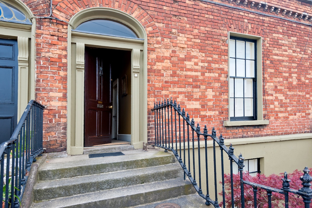 Habitation site in Unknown TownlandHabitation site · 352 yd
 Special Olympics MemorialMonument · 361 yd
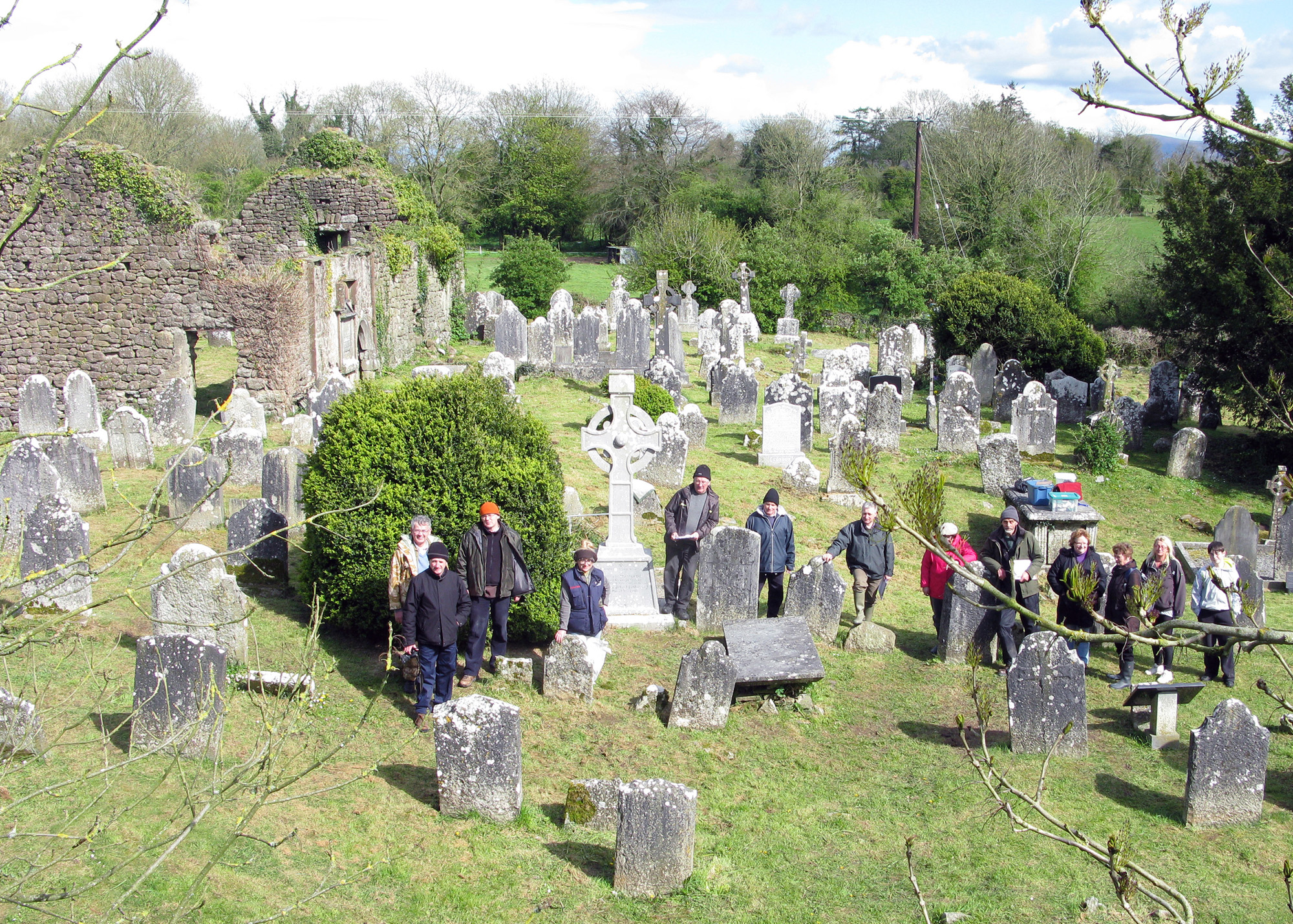 Graveyard in Unknown TownlandGraveyard · 440 yd
Other information
Photo: National Inventory of Architectural Heritage · Website use allowed for educational or private purposes with source credit