What is recorded here
Mature trees shadow the western edge of the Druming ringfort, while a low earthen bank still surrounds a grassy oval on the eastern slope. People may have entered through the eastern gap, passed two hollowed stones, and lived beside a buried mound before modern fields cut through the western boundary. The fort preserves that much larger neighbourhood, where human tools and strange local beliefs still share the same ground.
On an ENE-facing slope in pasture. An extensive plantation of mature deciduous trees lies immediately to the W. A raised roughly oval area (c. 40m N-S; c. 35m E-W) enclosed by a low bank of earth and stone (Wth 3.4m; H 0.4m) with a shallow external fosse (Wth 3m; D 0.35m). A short segment of the bank has been removed at NE, and from SSW-SW-W both the bank and fosse have been removed and replaced by a modern field boundary. A poorly defined break (Wth 2.9m) in the bank at E with fragmentary traces of a possible accompanying causeway may mark the original entrance. A bullaun stone (LF019-068005-) lies c. 4m to the ESE, while a short distance to the SW there is another bullaun stone (LF019-068002-). A ring-barrow (LF019-068003-) lies c. 25m to the SSW.
Compiled by: Patrick F. O'Donovan
Date of upload: 26 August 2011
This remains an important historical record, but the official description says the monument is no longer visible or has been destroyed. The monument record does not grant public access. Check the route and ask the landowner before entering private land.
- What survives
- No visible remains or recorded as destroyed
Places near here
 BarrowBarrow, ring-barrow · 40 yd
 Font in DrumingFont · 427 yd
 Druming Ho. (in ruins)Castle, unclassified · 903 yd
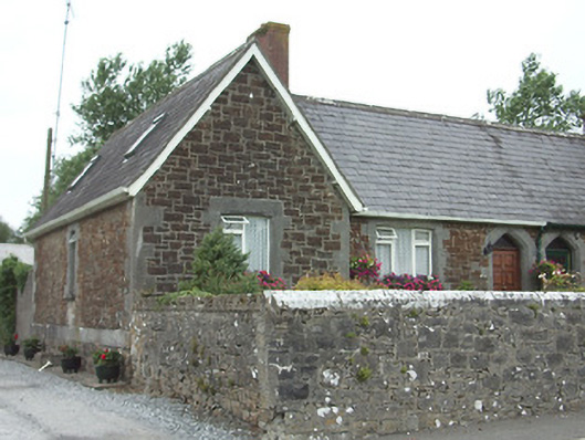 worker's houseworker's house · 1572 yd
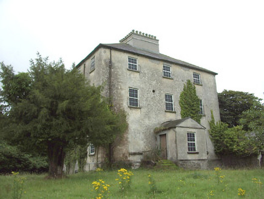 The Rectoryrectory/glebe/vicarage/curate's house · 1601 yd
 Ardagh DemesneFort · 1.5 mi
 National Famine WayWalking route · 1.9 mi
 Graveyard in Curry (ardagh By., Coolamber Ed)Graveyard · 4.8 mi
 First World War MemorialMemorial · 5.6 mi
 Saint Mel's CathedralCathedral · 5.6 mi
 Leveret IslandIslet · 11 mi
 Granard MotteMotte-and-bailey castle remains · 12 mi