What is recorded here
Located within woodland on the parkland of Drumhierny Lodge that was c. 200m to the NNW. A circular copse (diam. c. 30m) is indicated on the 1835 and 1911 editions of OS 6-inch map. The parkland had been laid out by P. Latouche and was worthy of note (Lewis 1837, vol. 2, 214). No feature is visible at ground level in an overgrown area, although this location had been confused with (LE027-024011-) by Moore (2003, 146, No. 1163).
The above description is derived from 'The Archaeological Inventory of County Leitrim' compiled by Michael J. Moore (Dublin: Stationery Office, 2003). In certain instances the entries have been revised and updated in the light of recent research.
Date of revised upload: 6 March 2017
The monument record does not grant public access. Check the route and ask the landowner before entering private land.
- What survives
- Recorded monument
Places near here
 IndicatedEnclosure · 287 yd
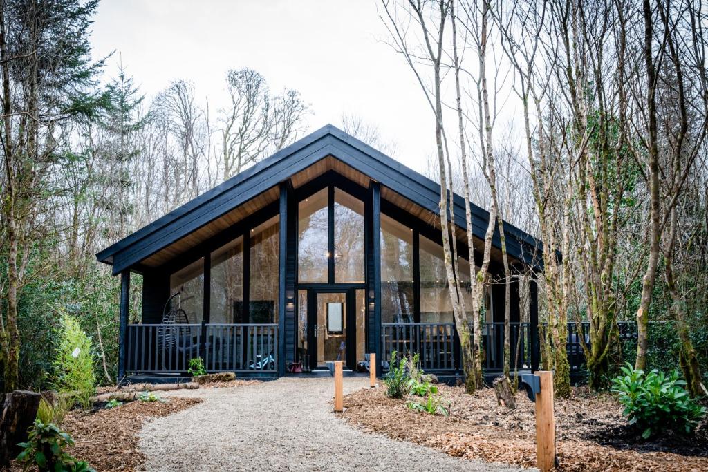 Enclosure in DrumhiernyEnclosure · 370 yd
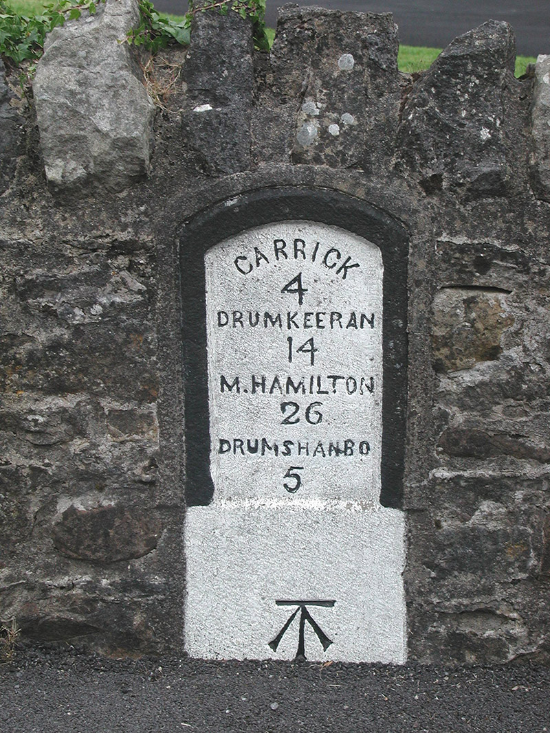 milestone/milepostmilestone/milepost · 447 yd
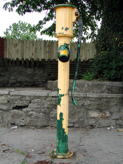 water pumpwater pump · 601 yd
 Shannon-Erne WaterwayVisitor information · 682 yd
 Sit of Breifny CastleCastle, tower house · 692 yd
 Battle of Áth an Chipbattle · 722 yd
 PortCastle, unclassified · 1.1 mi
 InishnagonIsland · 1.2 mi
 Leabaidh DermotCave · 2.0 mi
 Sheemore Ambush MemorialMonument · 2.4 mi
 Derreenargan WoodWood · 3.1 mi