
What is recorded here
Drumbride Castle stood as a flat-topped motte beside its church, occupying an east-facing slope where a long bailey stretched behind it. The mound measured fifteen metres across at its base and rose nearly three metres on the southeast side, large enough to hold a small hall or watchtower. Farming or road work removed the visible earthworks before 1999, erasing the castle from the landscape while leaving its name behind.
Located towards the top of an E-facing slope. This was recorded in 1968 (SMR file) as a circular flat-topped mound (diam. of base 15m NW-SE; diam. of top 7.5m NW-SE; H 1.5m at NW to 2.9m at SE). It is situated c. 25m to the E of church (ME003-009----). There is a possible bailey (dims 37m N-S; 12m E-W) E of the motte defined by scarps to the ESE and a ditch to the W. It appears to have been removed by 1999 (MapGenie images).
The above description is derived from the published 'Archaeological Inventory of County Meath' (Dublin: Stationery Office, 1987). In certain instances the entries have been revised and updated in the light of recent research.
Date of revision: 13 May 2016
Amended; 14 December 2022
The monument record does not grant public access. Check the route and ask the landowner before entering private land.
- What survives
- Recorded monument
Places near here
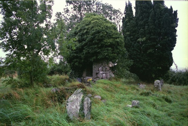 Drumbride Church in RuinsChurch · 51 yd
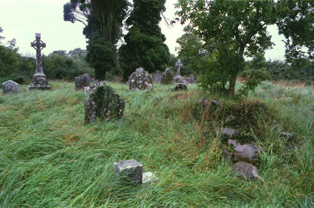 Grave YardGraveyard · 58 yd
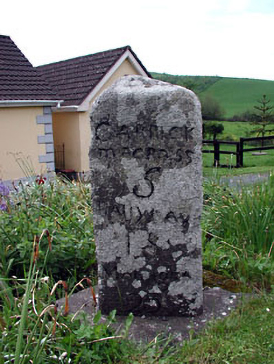 milestone/milepostmilestone/milepost · 406 yd
 Newstone Castle in RuinsCastle, tower house · 1338 yd
 CastleCastle, motte · 1748 yd
 Matthew's HillMountain / peak · 1.2 mi
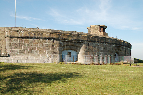 Murray's FortArchaeological place · 1.4 mi
 Drumran HillMountain / peak · 2.0 mi
 Tree IslandWood · 2.4 mi
 Flat cemetery in AnnaheanFlat cemetery · 3.1 mi
 TuliptreeTuliptree · 5.1 mi
 Nobber GreenwayMemorial · 5.1 mi
Other information
Photo: Credit not shown in the picture search · Rights wording not checked; contact us if this picture should be removed