What is recorded here
Fairy fort / earthen ringfort in Drumard (jones) is a grass-covered D-shaped hollow just off the crest of a drumlin ridge in County Leitrim, Ireland, with a faint eastern bank and shallow western ditch. It appeared on the 1835 map only as a small clump of trees, hiding its shape from casual eyes. The name suggests people once doubted whether humans or fairies made it, but the measured earth and deliberate form point to a local household that wanted boundary, shelter or exclusion.
Just off the crest of the W-facing slope of a N-S drumlin ridge towards its N end. It is depicted as a small clump of trees (diam. c. 20m) only on the 1835 edition of the OS 6-inch map. This is a grass-covered D-shaped area (int. dims 24.6m N-S; 18.5m E-W) with the straight side at E defined by a barely visible earthen bank (at W: Wth of base 3.75; int. H 0.25m; ext. H 0.5m) and an external fosse (at W: Wth of top 2.55m; Wth of base 0.8m; ext. D 0.1m).
The above description is derived from 'The Archaeological Inventory of County Leitrim' compiled by Michael J. Moore (Dublin: Stationery Office, 2003). In certain instances the entries have been revised and updated in the light of recent research.
Compiled by: Michael Moore
Date of upload: 23 September 2008
Amended: 6 January 2020
The monument record does not grant public access. Check the route and ask the landowner before entering private land.
- What survives
- Recorded monument
Places near here
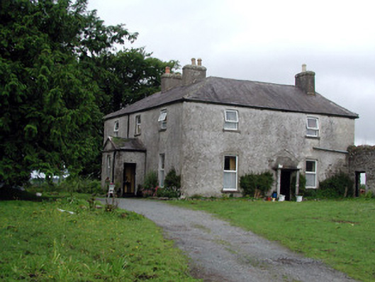 Gort Housefarm house · 959 yd
 Concentric enclosure in GortnalamphConcentric enclosure · 1235 yd
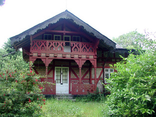 Swiss Cottagecottage ornee · 1467 yd
 IndicatedFairy fort / earthen ringfort · 1.1 mi
 Monkey-puzzleMonkey-puzzle · 1.4 mi
 TuliptreeTuliptree · 1.5 mi
 CastleCastle, tower house · 1.5 mi
 Turlough O'Carolan MonumentHeritage attraction · 1.6 mi
 Little IslandIslet · 1.7 mi
 Duck IslandIslet · 1.8 mi
 Giant's GraveArchaeological place · 2.1 mi
 OratoryCastle, tower house · 3.0 mi