
What is recorded here
Reported by Jean-Charles Caillere; visible on Digital Globe imagery (2011-2013) and on Apple aerial imagery as a central circular area (diam. c. 15m) within a larger enclosure (diam. c. 45m) defined by the cropmark of a curving fosse NE-S-W. Between W and N and from N to NE the site appears to be defined by the cropmark of a linear feature which may be a later drain. An ESB pole stands on the S perimeter.
See attached image: LE035-046----_01 Snip of Apple aerial imagery
Compiled by: Gearóid Conroy
Date of upload: 18 May 2023
The monument record does not grant public access. Check the route and ask the landowner before entering private land.
- What survives
- Recorded monument
Places near here
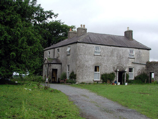 Gort Housefarm house · 314 yd
 Sweathouse in CloonfinnanSweathouse · 1.3 mi
 Holy well in Cashel (mohill By.)Holy well · 1.4 mi
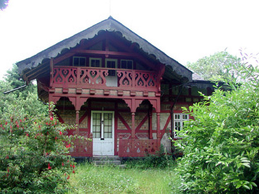 Swiss Cottagecottage ornee · 1.5 mi
 Monkey-puzzleMonkey-puzzle · 1.9 mi
 CastleCastle, tower house · 1.9 mi
 Western HemlockWestern Hemlock · 2.0 mi
 Lady Elizabeth's IslandIslet · 2.1 mi
 Turlough O'Carolan MonumentHeritage attraction · 2.3 mi
 Little IslandIslet · 2.3 mi
 Cavan & Leitrim RailwayMuseum · 2.6 mi
 Giant's GraveArchaeological place · 2.7 mi
Other information
Photo: Credit not shown in the picture search · Rights wording not checked; contact us if this picture should be removed