What is recorded here
Monument surveyed by ASI in 1971 and described as following; 'An approx. circular enclosure bounded by a scarp with remains of an earth and stone bank on its upper edge and with remains of a wide fosse and of an outer earth and stone bank at its foot. The inner bank appears to have remains of an internal stone facing but is very fragmentary. The original entrance way is not visible. The site is densely covered with whitethorn trees, blackthorn, hazel, briars etc. and satisfactory observation is impossible until it is partly cleared for the more detailed survey. Sited on the NW side of a hill of average pasture. The site is relatively lowlying. Dimensions not possible until the site is partly cleared' (SMR File 29/06/1971).
Compiled by: Caimin O'Brien
Date of upload: 17 February 2013
The monument record does not grant public access. Check the route and ask the landowner before entering private land.
- What survives
- Recorded monument
Places near here
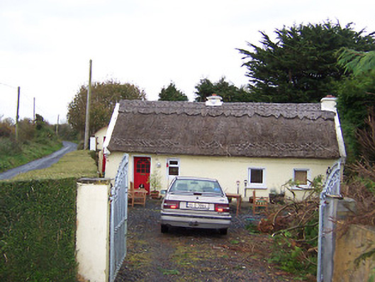 The Thatchhouse · 172 yd
 Partially hachuredEnclosure · 448 yd
 CastleCastle, motte · 665 yd
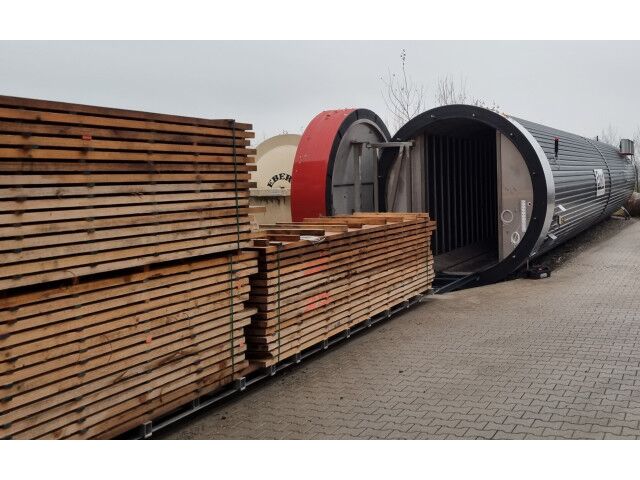 KilnKiln, corn-drying · 1036 yd
 Rathnagalliagh FortFairy fort / earthen ringfort · 1239 yd
 Killalea FortCastle, motte · 1641 yd
 Sam's ParkForest · 4.0 mi
 Kilmalady HillMountain / peak · 4.7 mi
 KnockastiaMountain / peak · 4.8 mi
 Ardan WoodWood · 5.7 mi
 Clara Bog BoardwalkHeritage attraction · 8.4 mi
 Charles BianconiMemorial · 8.7 mi