
What is recorded here
Monument surveyed by the ASI in 1971 and described as following; 'Completely demolished. There is a slight outward slope in the ground corresponding to the SW quadrant of the earthwork which is shown on the 1914 ed. OS 6-inch map. The site is largely overgrown with hazel etc. Sited on the top of a prominent rise and surrounded by gently undulating and hilly land of good meadow and pasture. Good views to the SSE-S and SW. The site would have been suitable for a rath' (SMR File 29/06/1971). Depicted as a sub-rectangular enclosure on the first edition of the OS 6-inch map.
Compiled by: Caimin O'Brien
Date of upload: 15 February 2013
A local fairy fort (ringfort/rath); wider significance not recorded.
The monument record does not grant public access. Check the route and ask the landowner before entering private land.
- What survives
- Recorded monument
Places near here
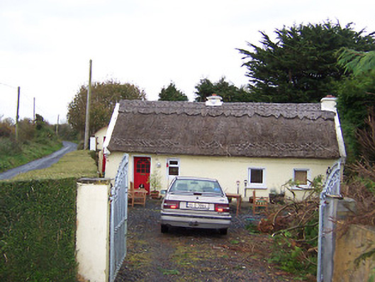 The Thatchhouse · 418 yd
 CastleCastle, motte · 775 yd
 Rathnagalliagh FortFairy fort / earthen ringfort · 1020 yd
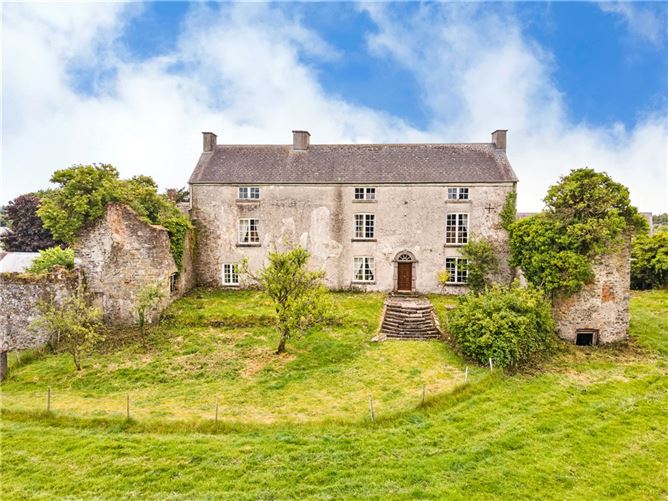 Enclosure in BallyhastEnclosure · 1053 yd
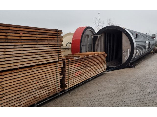 KilnKiln, corn-drying · 1467 yd
 Killalea FortCastle, motte · 1.1 mi
 Sam's ParkForest · 3.8 mi
 KnockastiaMountain / peak · 4.7 mi
 Kilmalady HillMountain / peak · 4.8 mi
 Japanese pagoda treeJapanese pagoda tree · 5.1 mi
 Clara Bog BoardwalkHeritage attraction · 8.6 mi
 Charles BianconiMemorial · 8.7 mi
Other information
Photo: Credit not shown in the picture search · Rights wording not checked; contact us if this picture should be removed