What is recorded here
Monument surveyed by ASI in 1978 and described as following; 'The feature marked fort on the OS Fair Plan is an irregular, subcircular enclosure outlined by a low earthen bank. The bank is low and fairly slight and does not look like a ringfort bank and there is no sign of a fosse. There are a number of stones set in the bank on the E, SE and S. There is no indication of an entrance. The interior slopes from NW-SE and there is a large, low mound of stone and earth to the N and NNE of centre; the significance of this is unknown and it may be just outcrop and field clearance stones dumped on it. There are a number of small, irregular, subrectangular and rectangular enclosures outlined by low banks, to the S and SE of the site. These appear to be contemporary with it and they stretch as far as the field fence (N-S) to the SE of the site. The date of this whole complex is not clear, some of the banks look fresh and the 'fort' is not convincing as a ringfort. The earthworks are on uneven ground in pasture land. There are extensive views to the N and E. There is an old lime kiln in the side of a natural rise to the W of the N-S field fence' (SMR File 12/06/1978). Monument is depicted as a sub-circular shaped antiquity on the first edition OS 6-inch map.
Monument surveyed by ASI in 1978 and described as following; 'The feature marked fort on the OS Fair Plan is an irregular, subcircular enclosure outlined by a low earthen bank. The bank is low and fairly slight and does not look like a ringfort bank and there is no sign of a fosse. There are a number of stones set in the bank on the E, SE and S. There is no indication of an entrance. The interior slopes from…
From the National Monuments Service (Archaeological Survey of Ireland) record WM032-007
The monument record does not grant public access. Check the route and ask the landowner before entering private land.
- What survives
- Recorded monument
Places near here
Photo credits
- National Inventory of Architectural Heritage
- Mike Searle, Geograph · CC BY-SA 2.0
- Willow, Wikimedia Commons · CC BY 2.5
- Jamesco101, Wikimedia Commons · CC BY-SA 4.0
- A.-K. D., Wikimedia Commons · CC BY-SA 4.0
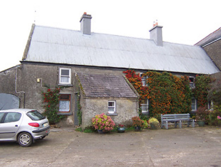 Garhy LodgeHouse · 1246 yd
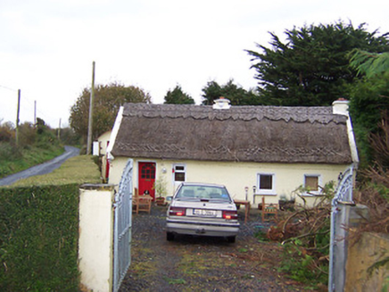 The ThatchHouse · 1303 yd
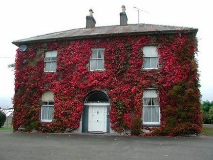 Saint Michael's Catholic ChurchPresbytery/parochial/curate's house · 1.2 mi
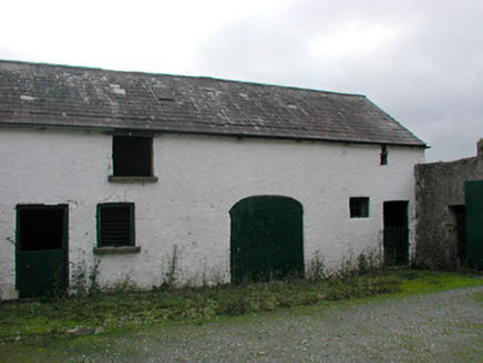 Vastina HouseOutbuilding · 1.2 mi
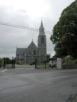 Saint Michael's Catholic ChurchChurch/chapel · 1.2 mi
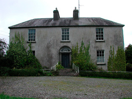 Vastina HouseRectory/glebe/vicarage/curate's house · 1.2 mi
 Laragh CastleCastle · 3.9 mi
 European ash8.8 miEuropean ash8.8 mi
 Abbeyshrule AbbeyRuins · 12 mi
 AbbeyHermitage · 14 mi
 St. Managhans WellHoly well · 14 mi
More archaeology and monuments in County Westmeath · All of County Westmeath
What do you know about this place?