
What is recorded here
Dromore presents an earthen mound with a shallow fosselike feature on its west side, yet the supposed enclosure fades entirely on the east where the mound itself weakens. This incomplete shape sits beside a stream valley north of Glasbolie hillfort, inviting wonder about whether human hands ever touched the soil or whether water and time simply sculpted the land. The ambiguity transforms the site into a quiet test of imagination, asking observers to decide between human intention and natural chance.
An enigmatic earthen mound with a shallow fosselike feature on its W side. The 'fosse' disappears on the E side and the mound also seems to weaken on this side. The site may be totally natural. It is situated on the bottom of the valley of a stream N of Glasbolie hillfort (DG103-017-) on a nearby hill top.
The above description was derived from the 'Archaeological Survey of County Donegal. A description of the field antiquities of the County from the Mesolithic Period to the 17th century.' Compiled by: Brian Lacey with Eamon Cody, Claire Cotter, Judy Cuppage, Noel Dunne, Vincent Hurley, Celie O'Rahilly, Paul Walsh and Seán Ó Nualláin (Lifford: Donegal County Council, 1983). In certain instances the entries have been revised and updated.
Date of upload: 22 September 2008
The monument record does not grant public access. Check the route and ask the landowner before entering private land.
- What survives
- Recorded monument
Places near here
 McGonigle's Fort Hilltop EnclosureHilltop enclosure · 673 yd
 Castle (Site of)Castle, unclassified · 1250 yd
 bridgebridge · 1381 yd
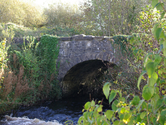 Connor's Bridgebridge · 1486 yd
 Birra Lake Peninsula Fairy FortFairy fort / earthen ringfort · 1566 yd
 HawthornHawthorn · 2.4 mi
 MurvaghOfficial bathing water · 2.4 mi
 RossnowlaghOfficial bathing water · 2.4 mi
 Kilbarron Old Church GraveyardGraveyard · 3.8 mi
 Rooney's IslandIslet · 3.8 mi
 Dark Cliffs at KilbarronPublicly named cliff or headland · 4.3 mi
 Kilbarron Castle in ruinsCastle, tower house · 4.3 mi
Other information
Photo: Credit not shown in the picture search · Rights wording not checked; contact us if this picture should be removed