What is recorded here
Enclosure in Donaskeagh is an enclosure in Donaskeagh, County Tipperary, Ireland. A low bank defines a denuded enclosure around a much ruined castle in lush pasture overlooking the Multeen river valley to the north. The bank has an internal height of 0.15 metres, an internal width of 2 metres and a top width of 6.5 metres. It runs along the north side for about 22 metres and turns down at the north end of the east side for about 30 metres.
In lush pasture, overlooking the Multeen river valley to the N. A much ruined castle (TS059-053001-) is located within an denuded enclosure which is defined by a low bank (int. H 0.15m; int. Wth 2m; Wth at top 6.5m) which has been levelled off down a natural scarp (Wth 39m; H 5m) at the E end of the N side (L c. 22m), with a return at the N end of the E side (L c. 30m). The visible remains are located c. 13m to the N and 18m to the E of the castle. On the 1904 ed. OS 6-inch map the scarp is indicated to the E and W of the castle. The remains are very scant and not clearly visible due to lush grass.
Compiled by: Jean Farrelly
Date of upload: 05 December 2011
The monument record does not grant public access. Check the route and ask the landowner before entering private land.
- What survives
- Recorded monument
Places near here
 Site of CastleCastle, unclassified · 1 yd
 DunnasgiathChurch · 625 yd
 FarranaraheenEnclosure · 729 yd
 Enclosure in AttybrickEnclosure · 1475 yd
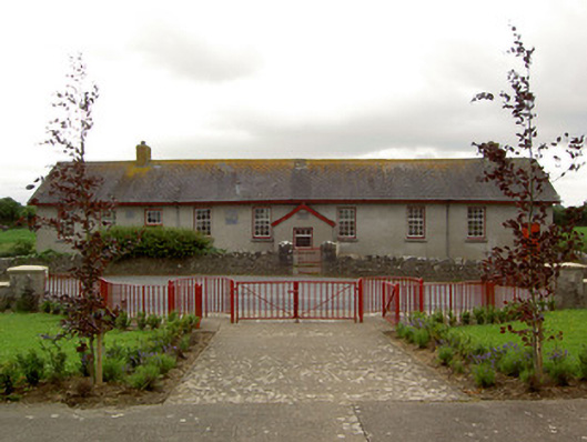 Curraghpoor Schoolschool · 1566 yd
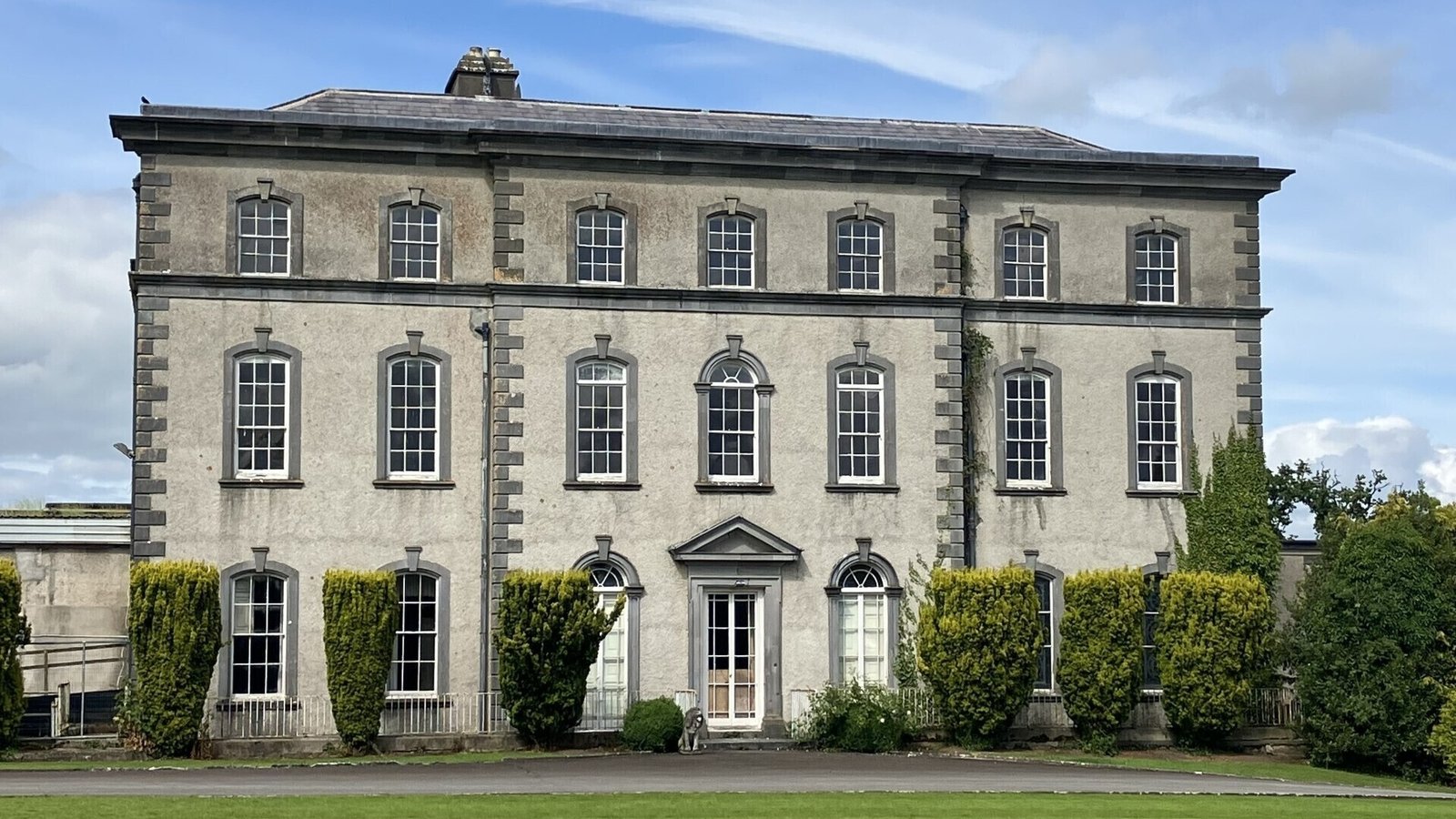 IndicatedCastle, ringwork · 1.3 mi
 Dundrum Woods (Marl Bog)Forest · 1.7 mi
 Maudemount BogWood · 1.8 mi
 Soloheadbeg Ambushambush · 4.0 mi
 Soloheadbeg Ambush SiteMemorial · 4.3 mi
 I.R.A. 3rd. Tipperary Brigade MemorialMemorial · 4.9 mi
 It's a long way to TippereryHeritage attraction · 5.5 mi