What is recorded here
Indicated is a circular fairy fort in mountain bogland, County Cork, where a stone-faced entrance and deep cut fosse still mark the boundary between human life and wild terrain. The interior slopes gently toward drier ground, suggesting people valued this small clear space when the surrounding land became water and shadow. Gorse now chokes the bank, turning the fort into a living knot of thorns, memory and rain.
In mountain bogland, on NE-facing slope. Circular area (20.3m N-S; 19.5m E-W) defined by earth and stone bank (int. H 0.3m; ext. H 0.5m), overgrown with gorse. External fosse cuts into rock outcrop to SW and SE (max. D 1.45m); shallower elsewhere. Second bank (H 0.4m) WSW->E; rock outcrop E->WSW. Entrance (Wth 2m) to ESE; stone-faced on S side. Interior slopes down gently to NE; drier than surrounding land.
The above description is derived from the published 'Archaeological Inventory of County Cork. Volume 3: Mid Cork' (Dublin: Stationery Office, 1997). In certain instances the entries have been revised and updated in the light of recent research.
Date of upload/revision: 14 January 2009
The monument record does not grant public access. Check the route and ask the landowner before entering private land.
- What survives
- Recorded monument
Places near here
 IndicatedFairy fort / stone ringfort · 1449 yd
 Architectural fragment in An Sliabh RiabhachArchitectural fragment · 1.4 mi
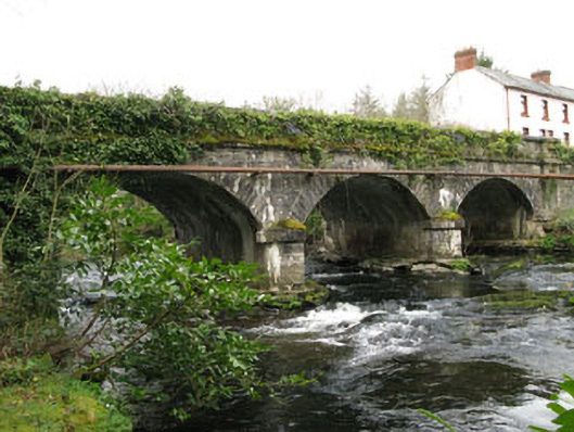 bridgebridge · 1.6 mi
 KnockacommeenMountain / peak · 1.6 mi
 Cascade WoodWood · 1.6 mi
 Castle (Site of)Castle, unclassified · 1.8 mi
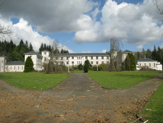 Coláiste Íosagáinschool · 1.8 mi
 Kealaboane WoodWood · 2.5 mi
 CastleCastle, unclassified · 2.7 mi
 An Cnoc BuíMountain / peak · 3.0 mi
 European long distance path E8 - part IrelandWalking route · 3.3 mi
 Sli Gaeltacht MuscraiWalking route · 3.6 mi