What is recorded here
Doagh holds a buried ring on a drumlin ridge, marked on McCrea’s map in 1793 and still visible as a shallow grassy bowl. Its earthen bank has surrendered partly to hedges and field edges, yet the circle remains clear enough to walk. People may have lived there, feared it, or simply passed it by; the land has kept the shape while forgetting the names.
Situated towards the bottom at the SE end of the spine of a NW-SE drumlin ridge. This rath is represented on McCrea’s map of Co. Monaghan (1793). It was described in 1967 as a subcircular grass and fern-covered area (dims 27m NW-SE; 22m NE-SW) that sloped down to the SE (H 1.6m), which was defined by an earthen bank (at NW: Wth of base 5m; int. H 0.5m; ext. H 1.5m) with some bushes NW-N. The perimeter was reduced to a scarp (at SE: Wth 5m; H 2.2m) N-SE and is incorporated into a field bank and hedge SE-WNW. There was no visible fosse or entrance. The vegetation was cleared mechanically in 2012.
The above description is derived from the published 'Archaeological Inventory of County Monaghan' (Dublin: Stationery Office, 1986). In certain instances the entries have been revised and updated in the light of recent research.
Date of revision: 25 August 2017
The monument record does not grant public access. Check the route and ask the landowner before entering private land.
- What survives
- Recorded monument
Places near here
 Fairy fort / earthen ringfort in AghinillardFairy fort / earthen ringfort · 1096 yd
 Not inidicatedMan-made underground passage · 1113 yd
 farmyard complexfarmyard complex · 1425 yd
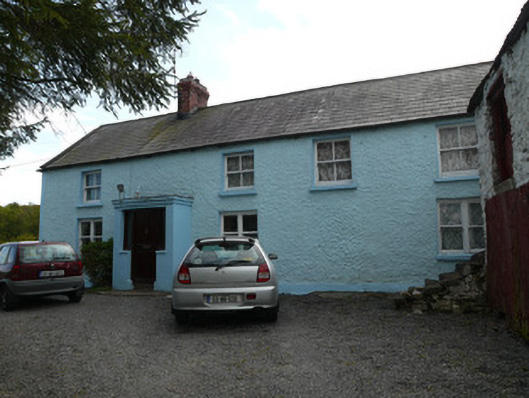
 farm housefarm house · 1546 yd
 Drumerlough MoreMountain / peak · 1.3 mi
 Monkey-puzzleMonkey-puzzle · 2.3 mi
 European BeechEuropean Beech · 2.3 mi
 RaferaghMountain / peak · 2.9 mi
 Giants GraveArchaeological place · 3.0 mi
 Castle ruinsCastle, unclassified · 3.0 mi
 Natural Play AreaMemorial · 3.0 mi
 Castle in ruinsCastle, unclassified · 4.8 mi