What is recorded here
Magic and life entangle in the Doagh fort. The facts resist easy separation. What is recorded is not a complete description of a living place.
Situated in a slight col between higher ground c. 100m to the N and E but overlooking a slight NNW-SSE valley, the floor of which is c. 200m to the SW. This is a circular grass and scrub-covered area (diam. 33.4m NNW-SSE; 33m E-W) that slops down slightly to the SE defined by an earthen bank (Wth of base 5-7m; int. H 0.7m at S to 2m at N; ext. H 1.3m at S to 1.7m at N), with an outer stone facing N-SE. There is no visible fosse but there is an entrance gap (Wth of base 2.2m), probably modern, at WSW. It has become overgrown since 1967 (Bing).
The above description is derived from the published 'Archaeological Inventory of County Monaghan' (Dublin: Stationery Office, 1986). In certain instances the entries have been revised and updated in the light of recent research.
Date of revision: 25 August 2017
The monument record does not grant public access. Check the route and ask the landowner before entering private land.
- What survives
- Recorded monument
Places near here
 Fairy fort / earthen ringfort in AghinillardFairy fort / earthen ringfort · 316 yd
 Not inidicatedMan-made underground passage · 337 yd
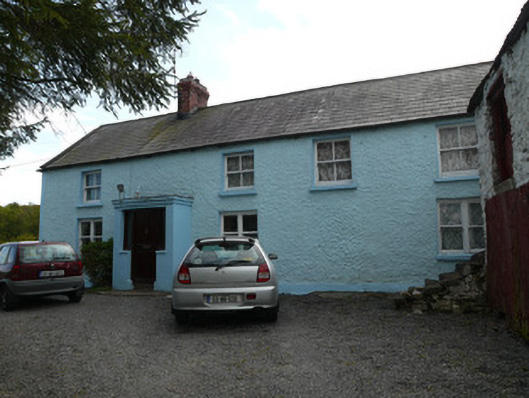 farmyard complexfarmyard complex · 597 yd
 farm housefarm house · 1200 yd
 Drumerlough MoreMountain / peak · 1.4 mi
 NorthlandsWood · 1.9 mi
 RaferaghMountain / peak · 2.3 mi
 European BeechEuropean Beech · 2.8 mi
 Giants GraveArchaeological place · 3.1 mi
 Castle ruinsCastle, unclassified · 3.4 mi
 Bawn in LisdrumskeaBawn · 4.3 mi
 Bush IslandIslet · 4.7 mi