
What is recorded here
Glidemouth Castle stood thirty feet square and sixty feet high in Dillonstown before humans chopped off its upper floors and turned the remainder into an ordinary dwelling. That practical greed erased most of the tower, leaving only a narrow strip of western wall for a new stone house to strangle. The building became a ruin before 1966, yet the ghost of a stairwell and first-floor doorway still hints at the vertical life the castle once commanded.
Marked on Taylor and Skinner's map (P 3) of 1778 as 'Glidemouth Castle'. Only a very small portion of the W facade now survives. A renovated stone house has been built directly against its S side. At the time of a visit in 1966 it had the remains of a stairwell in the SE angle and a plain doorway in the S wall at first-floor level. The building had been converted into a dwelling house and the upper portions removed prior to 1966 when it was already in a totally ruined state. According to the Irish Schools MSS (vol. 671, 176) it was 30 ft. sq. and 60 ft high, for which see this web-page access on 26/04/2016 http://www.duchas.ie/en/cbes/5008858/4961404
The above description is derived from both the published 'Archaeological Inventory of County Louth' (Dublin: Stationery Office, 1986) and the 'Archaeological Survey of County Louth' (Dublin: Stationery Office, 1991). In certain instances the entries have been revised and updated in the light of recent research.
Date of revised upload: 26 April 2016
Built in the 18th century, Glidemouth Castle was likely a modest defensive or aristocratic residence associated with the local Dillonstown area. It is remembered primarily through its appearance on historical maps, such as Taylor and Skinner's 1778 map, and as a rare surviving example of early stone architecture in the region.
The monument record does not grant public access. Check the route and ask the landowner before entering private land.
- What survives
- Recorded monument
Places near here
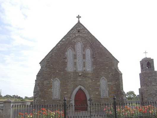 Saint Finian's Catholic Churchchurch/chapel · 546 yd
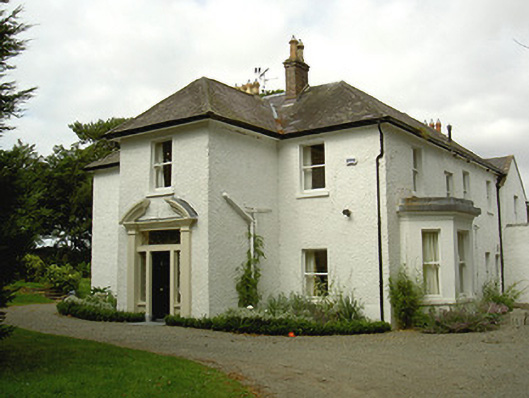 Ballygassan Househunting/fishing lodge · 1528 yd
 Enclosure in MartinstownEnclosure · 1585 yd
 Enclosure in SalterstownEnclosure · 1.2 mi
 Tullydonnell HillMountain / peak · 1.6 mi
 IndicatedCastle, tower house · 1.9 mi
 GreenmountCastle, motte and bailey · 2.4 mi
 Graveyard in DysartGraveyard · 2.4 mi
 Sweet baySweet bay · 2.6 mi
 European YewEuropean Yew · 2.6 mi
 Drummeenagh HillMountain / peak · 3.8 mi
 Chapel (in Ruins), GraveyardChurch · 3.9 mi
Other information
Photo: Credit not shown in the picture search · Rights wording not checked; contact us if this picture should be removed