
What is recorded here
Derver Castle stands as a motte and bailey on a Blackwater valley rise, its massive earthen mound still throwing shadows across the grass despite quarrying that stole much of its surrounding ditch. The flat top measures barely twelve metres, small enough for a single tower or a desperate family, while the rectangular bailey beside it suggests a household large enough to keep horses, store grain, and wield real local power. Men may have watched the river from that height, reading water levels and enemy movement in the same breath. The loss of its ditch does not erase the purpose; the mound still occupies the best view in the valley, demanding that they stood there because the land itself made the choice for them.
Located on a rise in the valley of the River Blackwater with a WSW-ENE section of the stream c. 20m to the S. The motte is a circular, grass and scrub-covered, flat-topped earthen mound (diam. of top 12m E-W; diam. of base 45m E-W; H 8.7m at E to 11m at W) defined by a fosse (at W: Wth 6m; ext. D 0.5m), largely removed by quarrying N-E-S, and with a counterscarp bank (at W: Wth c. 3m; ext. H 1.5m) S-W-N. There is a raised rectangular, grass and scrub-covered bailey (dims 44m N-S; 31m E-W) defined by scarps (at E: Wth 7m; H 3.5m) attached to the E.
The above description is derived from the published 'Archaeological Inventory of County Meath' (Dublin: Stationery Office, 1987). In certain instances the entries have been revised and updated in the light of recent research.
Compiled by: Michael Moore
Date of revision: 7 June 2016
The monument record does not grant public access. Check the route and ask the landowner before entering private land.
- What survives
- Recorded monument
Places near here
 Mote of DerverArchaeological place · 24 yd
 Church in EdenburtChurch · 639 yd
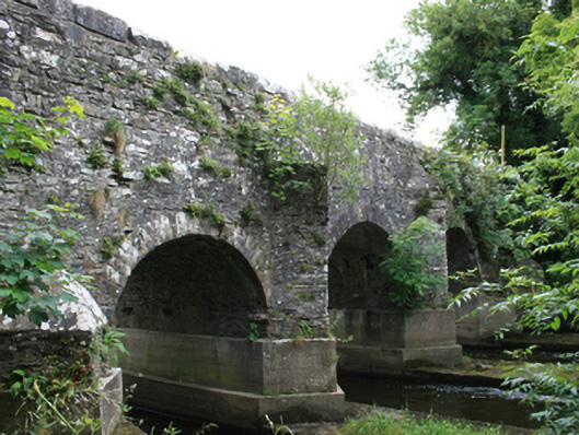 O'Daly's Bridgebridge · 976 yd
 IndicatedEnclosure · 1202 yd
 Balgree MoteCastle, motte · 1.1 mi
 Woodpole Fox CovertWood · 1.2 mi
 Ballyhist WoodWood · 1.4 mi
 CastleCastle, motte and bailey · 1.5 mi
 MaperathMountain / peak · 2.9 mi
 Oliver Plunkett memorialMemorial · 3.7 mi
 MountainpoleMountain / peak · 4.0 mi
 The Kieran Flanagan WayMemorial · 4.3 mi
Other information
Photo: Credit not shown in the picture search · Rights wording not checked; contact us if this picture should be removed