Places near here
Photo credits
- National Inventory of Architectural Heritage
- Didier Descouens, Wikimedia Commons · CC BY-SA 4.0
- RonanMcCormick, Wikimedia Commons · CC BY-SA 4.0
- Bob Embleton, Geograph · CC BY-SA 2.0
- Bill Griffiths, Wikimedia Commons · CC BY-SA 2.0
- Haydn Hammerton, Wikimedia Commons · CC BY-SA 4.0
- Nigel Thompson, Geograph · CC BY-SA 2.0
- Mark Duncan, Geograph · CC BY-SA 2.0
Explorer Tom Balgree Mote got its name wrong on the map, which is why every hiker ends up standing in front of it looking confused. The map makers were probably drunk or just really bad at spelling, I don’t know. Go back in winter, it's a different animal.
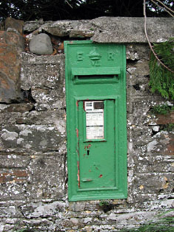 post box1353 yd
 bridge1382 yd
Explorer Tom Bridge in Pottlereagh goes clack-clack at night like a ghost doing its best impression of a train. It’s got that old railway swagger baked right into the brick. Sit on a wall near it and pretend you own the place.
Ballyhist WoodWood · 1468 yd Hawthorn2.1 mi
Explorer Tom Hawthorn in Meath has thorns sharp enough to survive any zombie attack without breaking a sweat. It’s the ultimate defense mechanism, looking prickly but actually quite welcoming if you’re brave enough. Stand still and listen, the wind tells it better than me.
 CrossCross, High cross · 2.1 mi
Explorer Tom Cross in Castlekeeran is guarded by a dog who demands a biscuit before you even blink. The interlace is basically just squiggles if you look hard enough. Great spot to propose. Or at least to propose lunch.
 Grave YardGraveyard · 2.1 mi
Explorer Tom Graveyard in Castlekeeran would bring a Viking helmet to any party just to keep people on their toes. It’s seen looters twice and still stands there with three high crosses looking like they’re judging your outfit. Best seen with a hangover and a sausage roll.
 Earthen TumulusCastle, motte · 3.4 mi
Explorer Tom Earthen Tumulus in Patrickstown inspired a bad poem about a fairy queen who was actually just a very confused farmer. It’s been quarried at the top because someone needed gravel for their driveway centuries ago. Make a wish, it's had centuries of practice.
 Slieve Na CalliaghMountain / peak · 4.6 mi
 Loughcrew Megalithic TombsHeritage attraction · 4.6 mi
 Kells Round TowerMemorial · 5.3 mi
 Kells High Crosses and Round TowerMemorial · 5.3 mi
More archaeology and monuments in County Meath · All of County Meath

What do you know about this place?Tap to add a comment or ask a question