
What is recorded here
Noted by Davies (1948, 73-7). The most likely location for the church is a large, disused, oval-shaped graveyard marked on all OS eds. No visible remains at ground level. A rath (CV044-010002-) lies 15m to S.
The above description is derived from the published 'Archaeological Inventory of County Cavan' (Dublin: Stationery Office, 1995). In certain instances the entries have been revised and updated in the light of recent research.
Date of upload/revision: 22 December 2008
A local church or high cross; wider significance not recorded.
The monument record does not grant public access. Check the route and ask the landowner before entering private land.
- What survives
- Recorded monument
Places near here
 Mote of DerverArchaeological place · 634 yd
 FortsCastle, motte and bailey · 639 yd
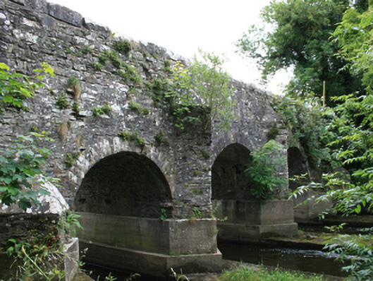 O'Daly's Bridgebridge · 669 yd
 bridgebridge · 1170 yd
 EnclosureEnclosure, large enclosure · 1.3 mi
 Balgree MoteCastle, motte · 1.4 mi
 Woodpole Fox CovertWood · 1.5 mi
 Feegat ForestWood · 1.6 mi
 Cloghbally LowerMountain / peak · 2.7 mi
 MaperathMountain / peak · 3.1 mi
 Crow IslandIslet · 3.3 mi
 Sally IslandIslet · 3.4 mi
Other information
Photo: Credit not shown in the picture search · Rights wording not checked; contact us if this picture should be removed