What is recorded here
Situated on top of a prominent hillock in grassland, with good views of the surrounding countryside. Ballyknock Bridge crossing the Yellow River which forms townland boundary with Ballybeg 90m to NE and Ballyknock House 70m to W. A raised circular-shaped area (approx. diam. 38m NW-SE; 35m NE-SW) enclosed by a poorly preserved earthen bank and shallow external fosse. The bank is levelled from WNW-ENE, and has been dug into at SSE. There is a possible entrance gap at SE. The interior rises towards the centre, and contains several slight depressions which may be the result of digging.
Compiled by: Frank Coyne and Caimin O'Brien
Date of upload: 24 April 2017
The monument record does not grant public access. Check the route and ask the landowner before entering private land.
- What survives
- Recorded monument
Places near here
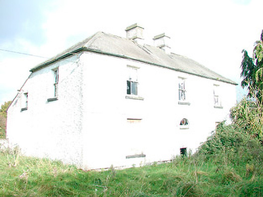 The Orchardhouse · 995 yd
 Water millWater mill, vertical-wheeled · 1113 yd
 Enclosure in DerrynagarraghEnclosure · 1118 yd
 HachruedFairy fort / earthen ringfort · 1401 yd
 Castle IslandIslet · 1.9 mi
 KnockeyonMountain / peak · 2.4 mi
 South East GateHeritage attraction · 3.3 mi
 Christians Castle in ruinsCastle, unclassified · 3.3 mi
 St Feichin's MillHeritage attraction · 3.5 mi
 MoatCastle, motte and bailey · 3.5 mi
 Ben of ForeMountain / peak · 3.7 mi
 The FurzeForest · 3.8 mi