What is recorded here
Indicated is a circular stone fort in Kerry pasture, not a vague fairy tale. Its drystone wall and cut scarp still hold a level interior on the Feabunaun slope, while field rubble and boundary stones show that people kept using the land around it. The fort may have been a home, a refuge or a marked claim to good ground, but its shape still answers the hill rather than yielding to it.
In pasture, on a SE-facing slope, in the valley of the Feabunaun stream. A circular area (24.9m N-S; 22m E-W) defined by a drystone wall (T 1.5m; H 1m) with large stones on both faces and an infill of smaller stones NE-W, and by a scarp (H 2.1m) which is cut into the upslope W-NE. The scarp is faced by a partially collapsed, drystone wall (Wth c. 1m). Sections of the inner and outer faces of the wall have been recently rebuilt. There is a damaged entrance (Wth 2.1m) at NE. The SE portion of the interior is raised (H 0.65m) to compensate for the hillslope. The interior is level. Field-clearance rubble is piled against the external wall-face at irregular intervals from E to W. Field boundaries abut the cashel at NNE, SE and SSW.
The above description is derived from the published 'Archaeological Inventory of County Kerry. Volume I: South-West Kerry' (Dublin: Stationery Office, 2009). In certain instances the entries have been revised and updated in the light of recent research.
Date of upload: 30 May 2011
The monument record does not grant public access. Check the route and ask the landowner before entering private land.
- What survives
- Recorded monument
Places near here
 IndicatedFairy fort / earthen ringfort · 296 yd
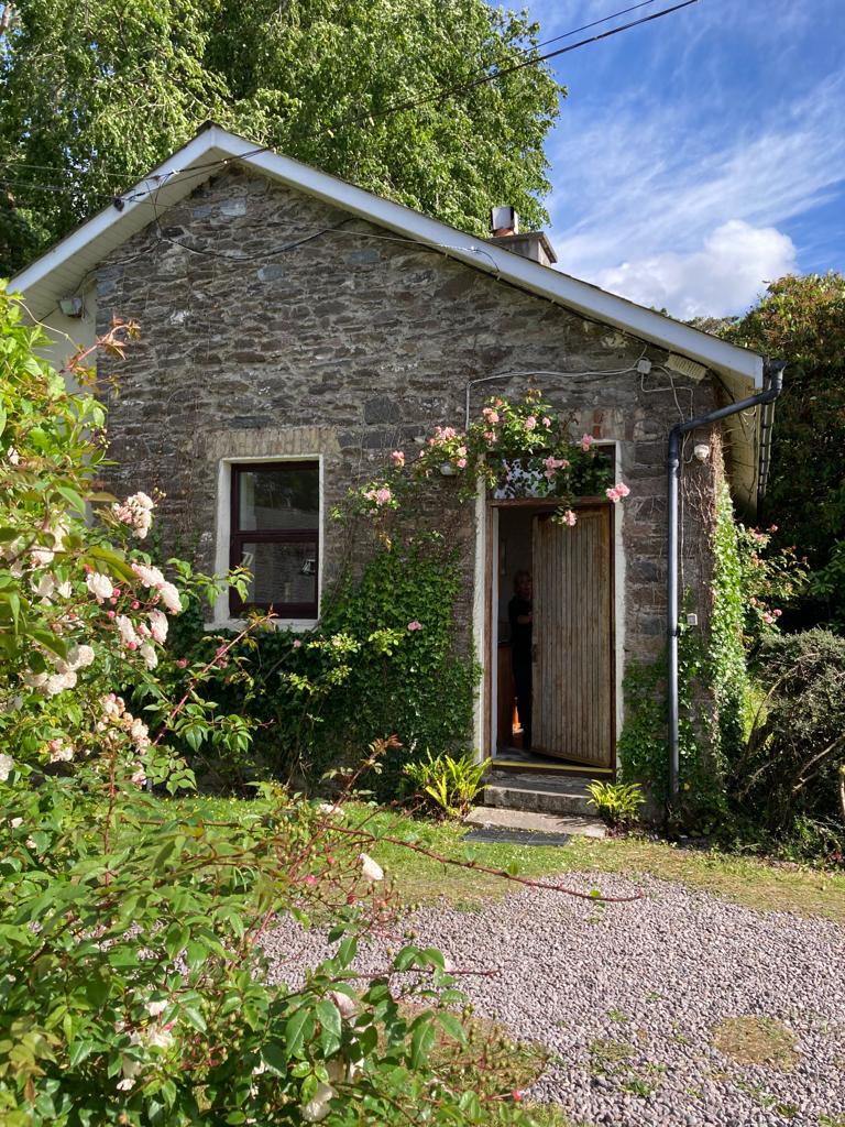 Enclosure in KillabunaneEnclosure · 625 yd
 BeneenMountain / peak · 1031 yd
 KilnKiln, lime · 1577 yd
 DerrynacaheraghMountain / peak · 1.1 mi
 Dromagorteen Br.Bridge · 1.1 mi
 CrannogHeritage attraction · 1.2 mi
 Bonane Heritage ParkMuseum · 1.4 mi
 Mucksna Nature ReserveNature reserve · 3.1 mi
 CastleCastle, unclassified · 3.4 mi
 Monterey PineMonterey Pine · 3.4 mi
 Kenmare Heritage Town - Main StreetMemorial · 3.6 mi