
What is recorded here
Indicated is a possible rath in County Kerry, Ireland, where a sixteen-metre stone-faced scarp still marks the edge of an oval enclosure that vanished beneath pasture and forgotten labour. The Feabunaun valley holds the rest, perhaps preserving a home, a boundary or a childhood memory now reduced to a ridge of earth and scattered rubble. What is certain is that people shaped this slope, cleared it, lived beside it or erased it, and the land kept only enough for others to wonder what is missing.
In pasture, on an undulating terrace, on a S-facing slope in the valley of the Feabunaun stream. This possible rath is indicated as an oval enclosure (c. 40m NW-SE; c. 30m NE-SW) on the 1846 OS 6-inch map and as a circular enclosure (diam. c. 30m) on the 1895 OS 6-inch map. It is now defined by an arc of a scarp (L 16m; H 1.45m) SSE-SSW faced with large stones. Field-clearance rubble is piled against the scarp face. The remainder of the possible rath is not visible at ground level.
The above description is derived from the published 'Archaeological Inventory of County Kerry. Volume I: South-West Kerry' (Dublin: Stationery Office, 2009). In certain instances the entries have been revised and updated in the light of recent research.
Date of upload: 30 May 2011
The monument record does not grant public access. Check the route and ask the landowner before entering private land.
- What survives
- Recorded monument
Places near here
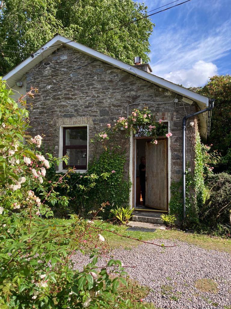 Enclosure in KillabunaneEnclosure · 731 yd
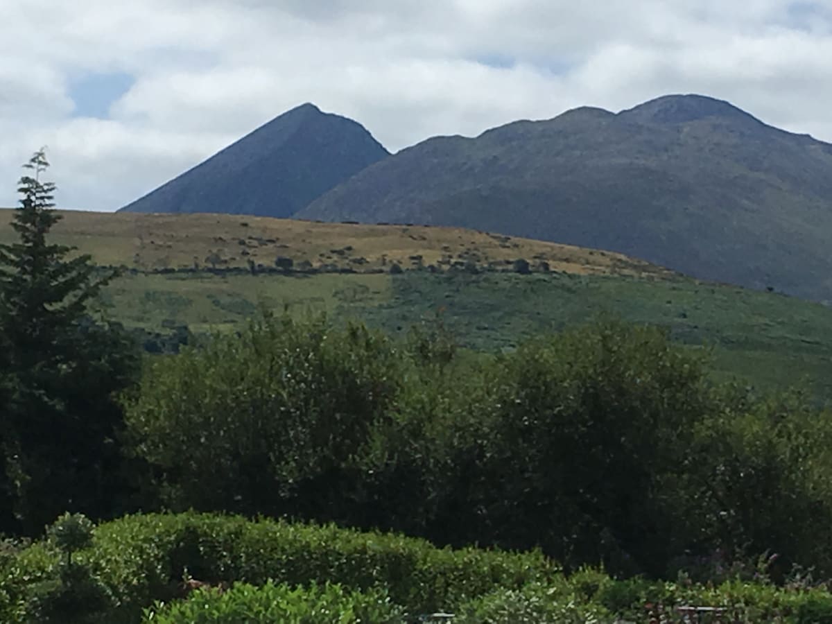 Hut site in KillabunaneHut site · 1133 yd
 KilnKiln, lime · 1282 yd
 BeneenMountain / peak · 1308 yd
 DerrynacaheraghMountain / peak · 1.0 mi
 Dromagorteen Br.Bridge · 1.3 mi
 CrannogHeritage attraction · 1.3 mi
 Bonane Heritage ParkMuseum · 1.5 mi
 Mucksna Nature ReserveNature reserve · 3.0 mi
 Monterey PineMonterey Pine · 3.3 mi
 CastleCastle, unclassified · 3.4 mi
 Kenmare Heritage Town - Main StreetMemorial · 3.5 mi
Other information
Photo: Credit not shown in the picture search · Rights wording not checked; contact us if this picture should be removed