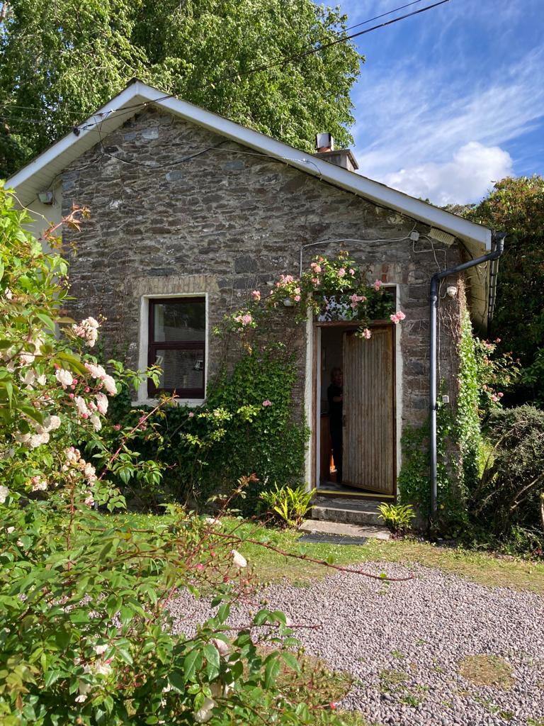
What is recorded here
In rough hill pasture, on a terrace, on a N-facing rocky slope, in the valley of the Feabunaun stream. A circular area (diam. 7.5m) defined by an earthen bank (Wth 1m; int. H 0.1m; ext. H 0.3m) ESE-S and by a scarp (H .4m) S-ESE. The level interior is in pasture. A more recent, irregular-shaped, stone-walled enclosure (24m E-W; 22m N-S), which is outlined on the 1895 OS 6-inch map, surrounds this enclosure.
The above description is derived from the published 'Archaeological Inventory of County Kerry. Volume I: South-West Kerry' (Dublin: Stationery Office, 2009). In certain instances the entries have been revised and updated in the light of recent research.
Date of upload: 30 May 2011
A local fairy fort (ringfort/rath); wider significance not recorded.
The monument record does not grant public access. Check the route and ask the landowner before entering private land.
- What survives
- Recorded monument
Places near here
 IndicatedFairy fort / earthen ringfort · 731 yd
 BeneenMountain / peak · 879 yd
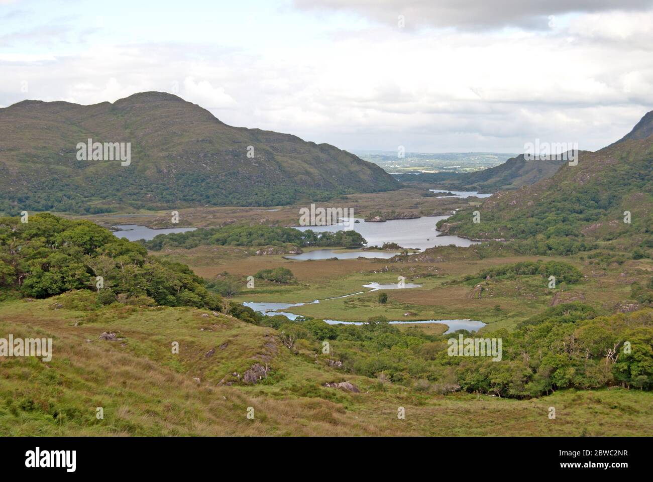 Fulacht fia in KillabunaneFulacht fia · 880 yd
 DerrynacaheraghMountain / peak · 1695 yd
 KilnKiln, lime · 1.0 mi
 Dromagorteen Br.Bridge · 1.1 mi
 CrannogHeritage attraction · 1.2 mi
 Bonane Heritage ParkMuseum · 1.4 mi
 Mucksna Nature ReserveNature reserve · 3.4 mi
 CastleCastle, unclassified · 3.7 mi
 Monterey PineMonterey Pine · 3.7 mi
 Kenmare Heritage Town - Main StreetMemorial · 4.0 mi
Other information
Photo: Credit not shown in the picture search · Rights wording not checked; contact us if this picture should be removed