
What is recorded here
Humpback road bridge (Wth 4.8m; long axis SW-NE) spanning the Sheen River. Two arches (spans c. 9m) with undressed voussoirs. The NE arch is semicircular. The SW arch is semicircular on the SE side and lopsided and pointed on the NW side. Central pier (Wth 1.6m) with pointed cutwater rising to arch height on upstream (SE) side. Upright stone coping on parapets. Parapets and base of cutwater have been reinforced using concrete.
Compiled by: Elizabeth Byrne, Ursula Egan and Sheila Ronan, Archaeological Survey Unit, University College, Cork.
Date of upload: 30 May 2011
The monument record does not grant public access. Check the route and ask the landowner before entering private land.
- What survives
- Recorded monument
Places near here
 CrannogHeritage attraction · 209 yd
 Bonane Heritage ParkMuseum · 553 yd
 Famine RuinRuins · 755 yd
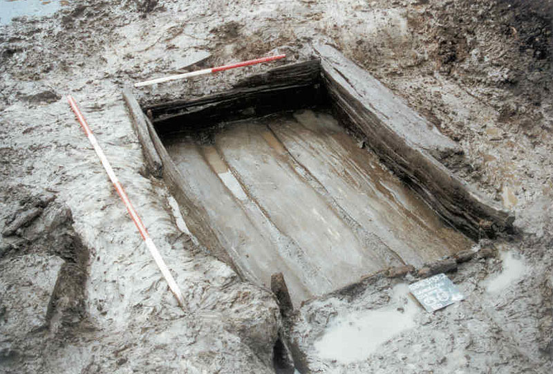 Fulacht FiadhArchaeological place · 828 yd
 SheepfoldHut site · 1022 yd
 BeneenMountain / peak · 1068 yd
 IndicatedBridge · 1400 yd
 DerrynacaheraghMountain / peak · 2.1 mi
 The Priests LeapViewpoint · 3.2 mi
 CastleCastle, unclassified · 3.8 mi
 CaoinkeenCliff · 3.9 mi
 Mucksna Nature ReserveNature reserve · 4.0 mi
Other information
Photo: Credit not shown in the picture search · Rights wording not checked; contact us if this picture should be removed