What is recorded here
A deposit of irregularly spaced light brushwood and roundwoods (L 2.8m; Wth 1.5m; D 0.32m) on the field surface. The wood is predominantly orientated N-S, with three perpendicular elements on the S side of the spread. A single peg is located on the E side of the structure. The site is situated in fen peat containing a small amount of Phragmites and fibrous roots. Recorded by the Irish Archaeological Wetland Unit (University College, Dublin) in 1997. The evidence is not sufficient to warrant its acceptance as the remains of an archaeological monument.
The original survey description was compiled by the Irish Archaeological Wetland Unit (University College, Dublin). Assessed and revised by: Caimin O'Brien, Paul Walsh
Date of upload: 23 May 2011
The monument record does not grant public access. Check the route and ask the landowner before entering private land.
- What survives
- Recorded monument
Places near here
 RoadRoad, class 3 togher · 12 yd
 PlatformPlatform, peatland · 34 yd
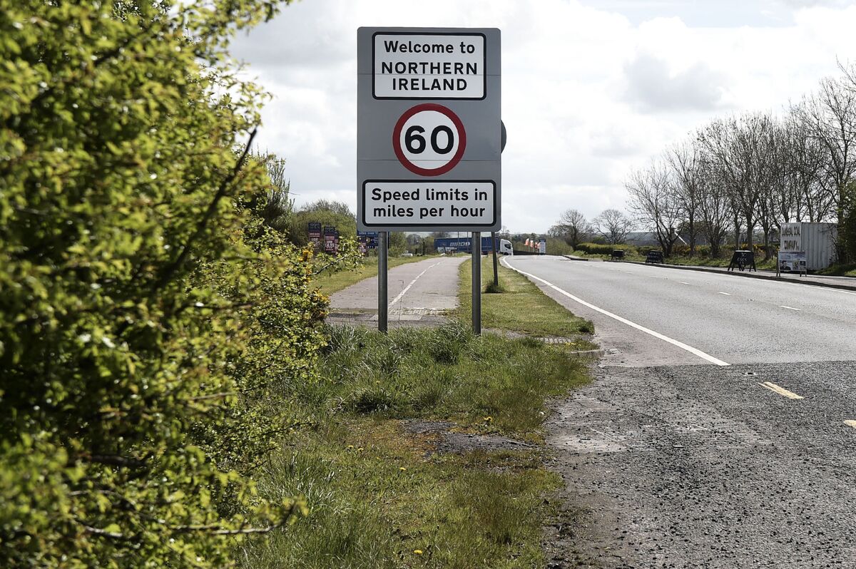 Not inidcatedRoad, class 3 togher · 44 yd
 StructureStructure, peatland · 168 yd
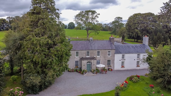 Bawn in Roscore DemesneBawn · 1.3 mi
 Castle in ruinsCastle, unclassified · 1.5 mi
 HawthornHawthorn · 1.8 mi
 European YewEuropean Yew · 1.8 mi
 Graveyard in PallasGraveyard · 2.4 mi
 Lowerton HillMountain / peak · 3.2 mi
 Ardnagross WellSpring · 3.2 mi
 Cocta HillMountain / peak · 3.4 mi