What is recorded here
Indicated is a fading fairy fort in County Mayo, marked only by a long domed rise and faint scars where a circular bank once stood. The 1838 map drew a clear ring thirty to forty metres wide, but later drawings erased the line as if the land had swallowed the memory. Cattle still graze the smooth slope, unaware they tread a boundary the region has nearly forgotten.
In hilly undulating pasture, with good views over lowlying land to N.
An embanked circular enclosure (diam. 35-40m) is shown on the 1838 OS 6-inch map, but not on later map editions. At this location there is an elongated rise (c. 18m E−W; c. 40m N−S) which resembles a gently domed hillock. Faint undulations at the base at E and S appear to be remnants of an enclosing scarp. It is crossed on the W side by a field boundary on a roughly N−S axis.
Compiled by: Jane O’Shaughnessy
Date of upload: 4 October 2022
The monument record does not grant public access. Check the route and ask the landowner before entering private land.
- What survives
- Recorded monument
Places near here
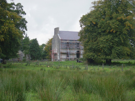 Holywell Housefarm house · 663 yd
 Cross in Holywell LowerCross · 927 yd
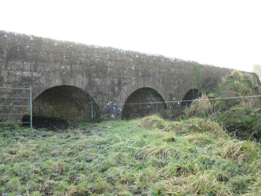 Agloragh Bridgebridge · 1245 yd
 Font in ChurchparkFont · 1260 yd
 CastleCastle, unclassified · 3.1 mi
 Ballybooley CastleCastle · 6.6 mi
 Oak WoodForest · 8.4 mi
 Land of the GiantsHeritage attraction · 8.8 mi
 Geoffrey's WoodForest · 9.3 mi
 Mass RockNamed rock · 16 mi
 Church in RuinsChurch · 1294 yd
 St. Patricks StoneRitual site, holy/saint's stone · 1720 yd