What is recorded here
Top of a hill in Crossdrum Lower, an oval rath still stands with a grass floor, earthen banks, a cutting between them and a narrow causeway leading in from the north-east. People have long called it a fairy fort, as if the shape belonged to someone smaller, quicker and less honest than human builders. The name may be mischief, but the place keeps it straight: a made circle on open sky, old enough to lose its makers and strong enough to hold their absence.
Situated on top of a hill. This is an oval grass-covered area (dims 50m ENE-WSW; 37m NNW-SSE) that slopes down (H 1.1m) from the W to the centre. It is defined by an overgrown earthen bank (Wth of base 6-7m; int. H 1.1m; ext. H 2.6-2.9m) separated by a fosse (Wth of top 9.5-11m; Wth of base 2.5m; ext. D 0.8m at ENE to 1.6m at WSW) from an overgrown outer bank (at ENE: Wth 5m; int. H 0.5m; ext. H 1.2m) NW-N-SE that might be a field bank. There is a berm (at ENE: Wth 5m) between the fosse and outer bank at N-SE. The entrance through the inner (Wth of base 2.1m) and outer (Wth of base 4.3m) banks and a causeway (Wth of top 2.7m; H 0.7m) are at NNE. There is a depression (dims 9.5m E-W; 5m N-S; D 0.3m) E of the centre that could be a collapsed Man-made underground passage, of which there is a local tradition. The inner bank has inner facing stones NE-SE and on either side of the entrance. There is an E-W field bank outside the perimeter SE-WSW.
The above description is derived from the published 'Archaeological Inventory of County Meath' (Dublin: Stationery Office, 1987). In certain instances the entries have been revised and updated in the light of recent research.
Compiled by: Michael Moore
Date of revision: 31 October 2018
Amended: 15 December 2022
The monument record does not grant public access. Check the route and ask the landowner before entering private land.
- What survives
- Recorded monument
Places near here
 CastleCastle, unclassified · 852 yd
 Church (in Ruins)Church · 960 yd
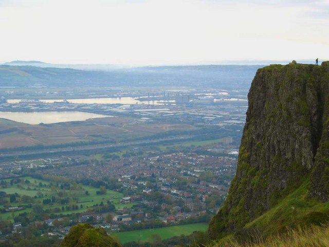 Cave FortFairy fort / earthen ringfort · 1321 yd
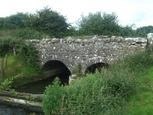 Ballinacree Bridgebridge · 1657 yd
 St. Patricks WellsHoly well · 1721 yd
 European BeechEuropean Beech · 1.1 mi
 The MoatCastle, motte and bailey · 1.3 mi
 Mount FortuneMountain / peak · 1.3 mi
 Memorial CrossMemorial · 1.5 mi
 Fennor LowerMountain / peak · 1.9 mi
 C11Named rock · 3.3 mi
 Mullaghmeen ForestPicnic place · 3.3 mi