What is recorded here
A short distance to the NNW of the highest point of a prominent NNW-SSE ridge. This low, narrow, subrectangular pillar stone (max. H 1.1m; Wth 0.28m; max. T 0.14m) is aligned ENE-WSW and tapers to a point. The upper part of the WSW face is irregular in profile. A very small Latin cross with expanded terminals is visible close to the top of the SSE face.
Compiled by: Patrick F. O'Donovan
Date of upload: 6 June 2013
Likely dating to the Early Christian period, the cross-inscribed pillar in Grassyard may have served as a waymarker, memorial, or religious symbol. Such stones often carried Christian iconography and were associated with local traditions or ecclesiastical sites.
The monument record does not grant public access. Check the route and ask the landowner before entering private land.
- What survives
- Recorded monument
Places near here
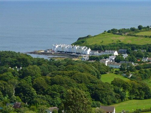 Enclosure in TromraEnclosure · 507 yd
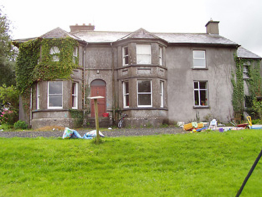 Fernmounthouse · 819 yd
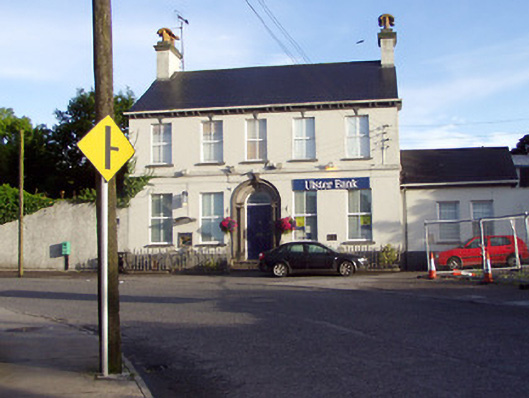 Ulster Bankbank/financial institution · 852 yd
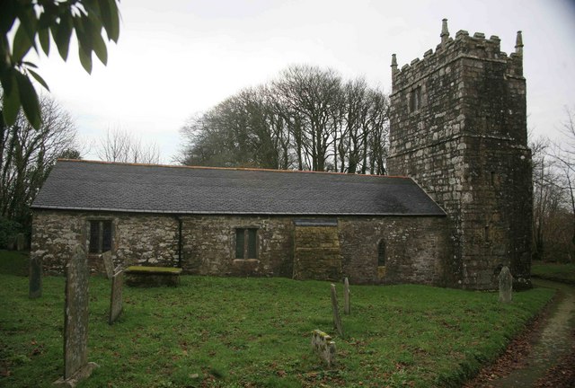 Grave YardGraveyard · 1053 yd
 Bakers FortCastle, ringwork · 1069 yd
 1798 Monumentmonument · 1072 yd
 Granard MotteMotte-and-bailey castle remains · 1166 yd
 CastleCastle, unclassified · 1185 yd
 CartronfreeMountain / peak · 2.6 mi
 Derrycassan WoodsWood · 3.3 mi
 InchmoreIslet · 3.8 mi
 Clonfin Ambush MemorialMemorial · 3.8 mi