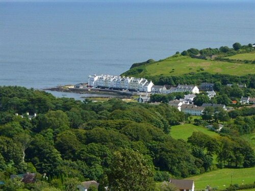
What is recorded here
On a low knoll in otherwise wet pasture. Not marked on the 1837 edition of the OS 6-inch map. A raised subrectangular area (60m NW–SE; 36m NE–SW) defined by a scarp (H 1.2-1.6m) along the NE, SE and SW sides and by a hedgerow and roadway along the NW side. A wide, shallow external fosse (Wth 4.5-5m; D 0.2-0.5m) is visible at NE. A report in 1986 (SMR file) recorded a low outer bank that is no longer identifiable. The original entrance is not recognisable.
Compiled by: Patrick F. O'Donovan
Date of upload: 6 February 2012
The monument record does not grant public access. Check the route and ask the landowner before entering private land.
- What survives
- Recorded monument
Places near here
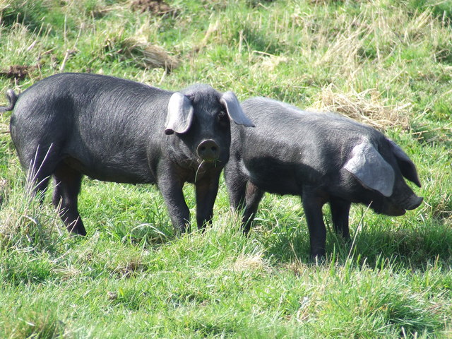 Dunclá or Black Pigs RaceArchaeological place · 902 yd
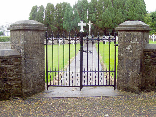 Convent of Mercygraveyard/cemetery · 1074 yd
 Burnt mound in AghnagarronBurnt mound · 1093 yd
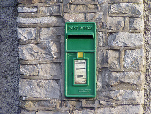 post boxpost box · 1198 yd
 Bakers FortCastle, ringwork · 1401 yd
 1798 Monumentmonument · 1515 yd
 Granard MotteMotte-and-bailey castle remains · 1627 yd
 CastleCastle, unclassified · 1648 yd
 CartronfreeMountain / peak · 2.3 mi
 Derrycassan WoodsWood · 3.2 mi
 ToomeMountain / peak · 3.7 mi
 InchmoreIslet · 3.7 mi
Other information
Photo: Credit not shown in the picture search · Rights wording not checked; contact us if this picture should be removed