What is recorded here
No fairy fort in Balnagall. That is a misreading of an old Irish word for a human ringfort. The ground still shows a shallow circular bank and a broken ditch on a steep farm slope. People lived there, entered from one side, and left the shape behind.
On a steep N-facing slope in pasture. A raised subcircular area (36m N-S; 32m E-W) defined by a scarp (H 0.4-1.1m) with a partially infilled external fosse (Wth c. 6m; D 0.6m). A report in 1975 (SMR file) suggested that the original entrance may have been either at NW or NE.
Compiled by: Patrick F. O'Donovan
Date of upload: 26 August 2011
The monument record does not grant public access. Check the route and ask the landowner before entering private land.
- What survives
- Recorded monument
Places near here
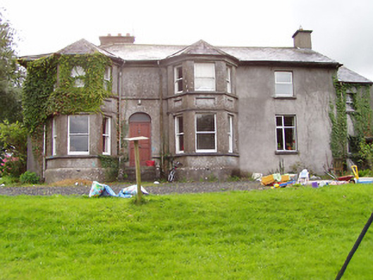 Fernmounthouse · 1085 yd
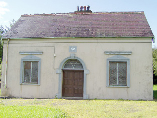 Granard Masonic Hallmasonic lodge/hall · 1097 yd
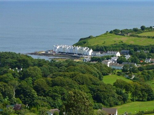 Enclosure in TromraEnclosure · 1129 yd
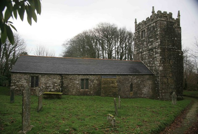 Grave YardGraveyard · 1351 yd
 1798 Monumentmonument · 1451 yd
 Granard MotteMotte-and-bailey castle remains · 1465 yd
 CastleCastle, unclassified · 1476 yd
 Moat of GranardCastle, motte and bailey · 1505 yd
 CartronfreeMountain / peak · 2.9 mi
 Derrycassan WoodsWood · 3.1 mi
 InchmoreIslet · 3.4 mi
 Clonfin Ambush MemorialMemorial · 3.4 mi