
What is recorded here
A five-metre-wide bank still divides Slade and Crooksling, its flat top catching light while the outer ditch chokes with vegetation. Ua Broin identified it as a medieval boundary for Saggart Commons, yet the sharp contrast between the silted inner trench and overgrown outer trench suggests repeated human use rather than a single abandoned act. The earthwork overlooks Saggart Village, marking both ownership and the edge of shared land.
Survives as a section of townland boundary between Slade and Crooksling. It runs along the crest of land that falls away to the NW, overlooking Saggart Village. Comprises a bank with contiguous internal and external fosse. The bank is flat-topped (H 1m-1.10m, Wth 5m). The internal fosse is largely silted up (Wth 1.50m, D 0.30m-0.40m) whereas the external fosse is overgrown (Wth 3m, D 0.50m). This feature has been interpreted as a medieval boundary to Saggart Commons (Ua Broin 1957, 39-41).
Compiled by Geraldine Stout
The monument record does not grant public access. Check the route and ask the landowner before entering private land.
- What survives
- Recorded monument
Places near here
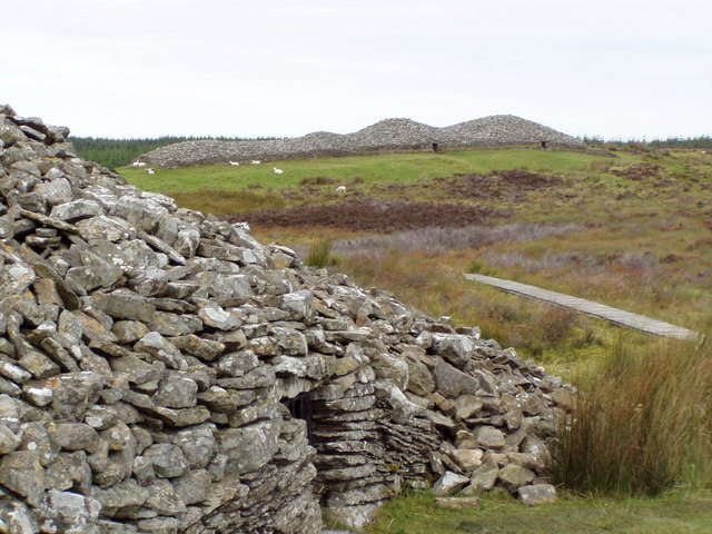 CairnCairn, unclassified · 480 yd
 Bridge in Lugg,sladeBridge · 500 yd
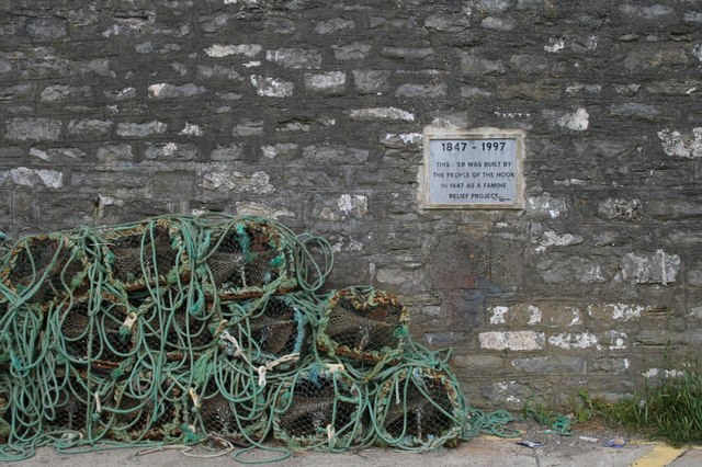 IndicatedHoly well · 622 yd
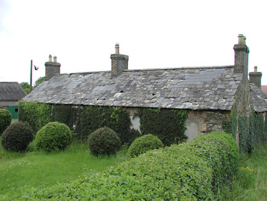 farmyard complexfarmyard complex · 649 yd
 Verschoyle's HillMountain / peak · 705 yd
 CastleCastle, tower house · 1587 yd
 Rathcoole WoodlandWood · 1.2 mi
 Meadow WildlifeVisitor information · 1.3 mi
 KnackannaveaMountain / peak · 1.6 mi
 Inniscara GalleryGallery · 1.7 mi
 Early Stadium DesignHeritage attraction · 2.5 mi
 Colmanstown Castle (in ruins)Castle, tower house · 3.0 mi
Other information
Photo: Credit not shown in the picture search · Rights wording not checked; contact us if this picture should be removed