What is recorded here
On top of a hillock in pasture. Upright stone (H 3.3m; 1.13m x 0.46m) in N-S field fence; sub-rectangular plan, long axis NNE-SSW, leaning to WSW. Prostrate stone (L 3.4m; 0.98m x 0.57m) to W of and at right angles to upright stone .O.S. Memoranda (1935) describe 3 tall stones in a fence.
The above description is derived from the published 'Archaeological Inventory of County Cork. Volume 1: West Cork' (Dublin: Stationery Office, 1992). In certain instances the entries have been revised and updated in the light of recent research.
Date of upload/revision: 14 January 2009
The monument record does not grant public access. Check the route and ask the landowner before entering private land.
- What survives
- Recorded monument
Places near here
 Table StoneMass-rock · 498 yd
 Ballynough Bridgebridge · 1000 yd
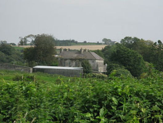 Brookfieldhouse · 1183 yd
 Holy well in KnockanreaghHoly well · 1493 yd
 Carbury's WellSpring · 1680 yd
 Bandon War MemorialMemorial · 1.6 mi
 Cathal Hurley MemorialMemorial · 1.7 mi
 Cottage Road WoodWood · 3.0 mi
 Marie LouiseWreck · 3.2 mi
 Dromkeen Wood Nature ReserveForest · 3.3 mi
 Carrighnassig Castle (Site of)Castle, unclassified · 3.4 mi
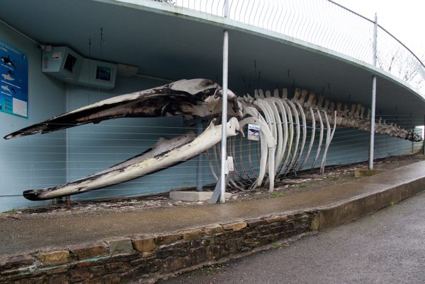 Kilbrittain WhaleHeritage attraction · 3.7 mi