
What is recorded here
According to local information, it occured in N side of field fence c. 0.25m above ground level. Used in living memory. No visible surface trace. (CMSS).
The above description is derived from the published 'Archaeological Inventory of County Cork. Volume 1: West Cork' (Dublin: Stationery Office, 1992). In certain instances the entries have been revised and updated in the light of recent research.
Date of upload/revision: 14 January 2009
A local holy well or ritual site; wider significance not recorded.
The monument record does not grant public access. Check the route and ask the landowner before entering private land.
- What survives
- Recorded monument
Places near here
 Quarry in Clancool MoreQuarry · 680 yd
 Ballymodan Grave YdGraveyard · 914 yd
 Ecclesiastical enclosure in Clogheenavodig,cloghmacsimon ,knockanreagh,moanaroneEcclesiastical enclosure · 918 yd
 Carbury's WellSpring · 1191 yd
 The Mansemanse · 1374 yd
 Cathal Hurley MemorialMemorial · 1416 yd
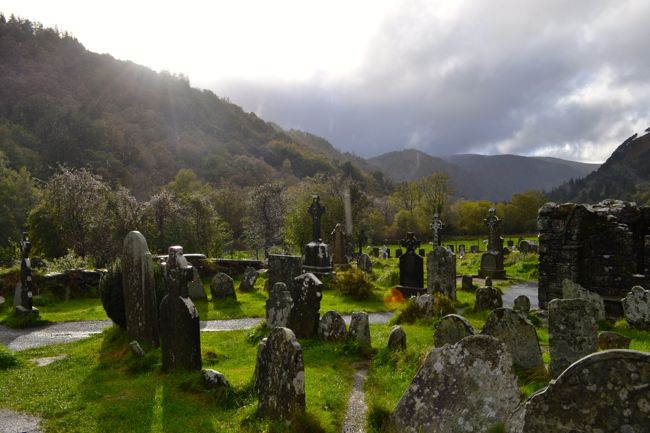 Graveyard in GullyGraveyard · 1598 yd
 Cottage Road WoodWood · 2.2 mi
 Dromkeen Wood Nature ReserveForest · 3.4 mi
 Marie LouiseWreck · 3.9 mi
 Carrighnassig Castle (Site of)Castle, unclassified · 4.0 mi
 Shippool CastleCastle · 4.4 mi
Other information
Photo: Credit not shown in the picture search · Rights wording not checked; contact us if this picture should be removed