
What is recorded here
Clogheenavodig, cloghmacsimon, knockanreagh, moanarone contain a 140m circular ecclesiastical enclosure above Bandon, preserving a one-metre scarp and a graveyard in its southern quadrant. The church likely stood within that ring before the land was taken for pasture, while the people moved their prayers into the stones already marked for death. What is left is not a ruin but a boundary: a line drawn across a living hill, still holding the shape of the room where worship and burial shared one address.
In pasture atop hill overlooking Bandon town (c. 1km to NW). Circular enclosure (diam c. 140m) visible in aerial photograph (Mould 1981, 107-108). Scarp (H 1m) SW-NE. Short section of bank remains in field fence to N (H 1.4m). Ballymodan graveyard (CO110-03302) occupies S quadrant.
The above description is derived from the published 'Archaeological Inventory of County Cork. Volume 1: West Cork' (Dublin: Stationery Office, 1992). In certain instances the entries have been revised and updated in the light of recent research.
Date of upload/revision: 14 January 2009
The monument record does not grant public access. Check the route and ask the landowner before entering private land.
- What survives
- Recorded monument
Places near here
 Ballymodan Grave YdGraveyard · 10 yd
 Carbury's WellSpring · 552 yd
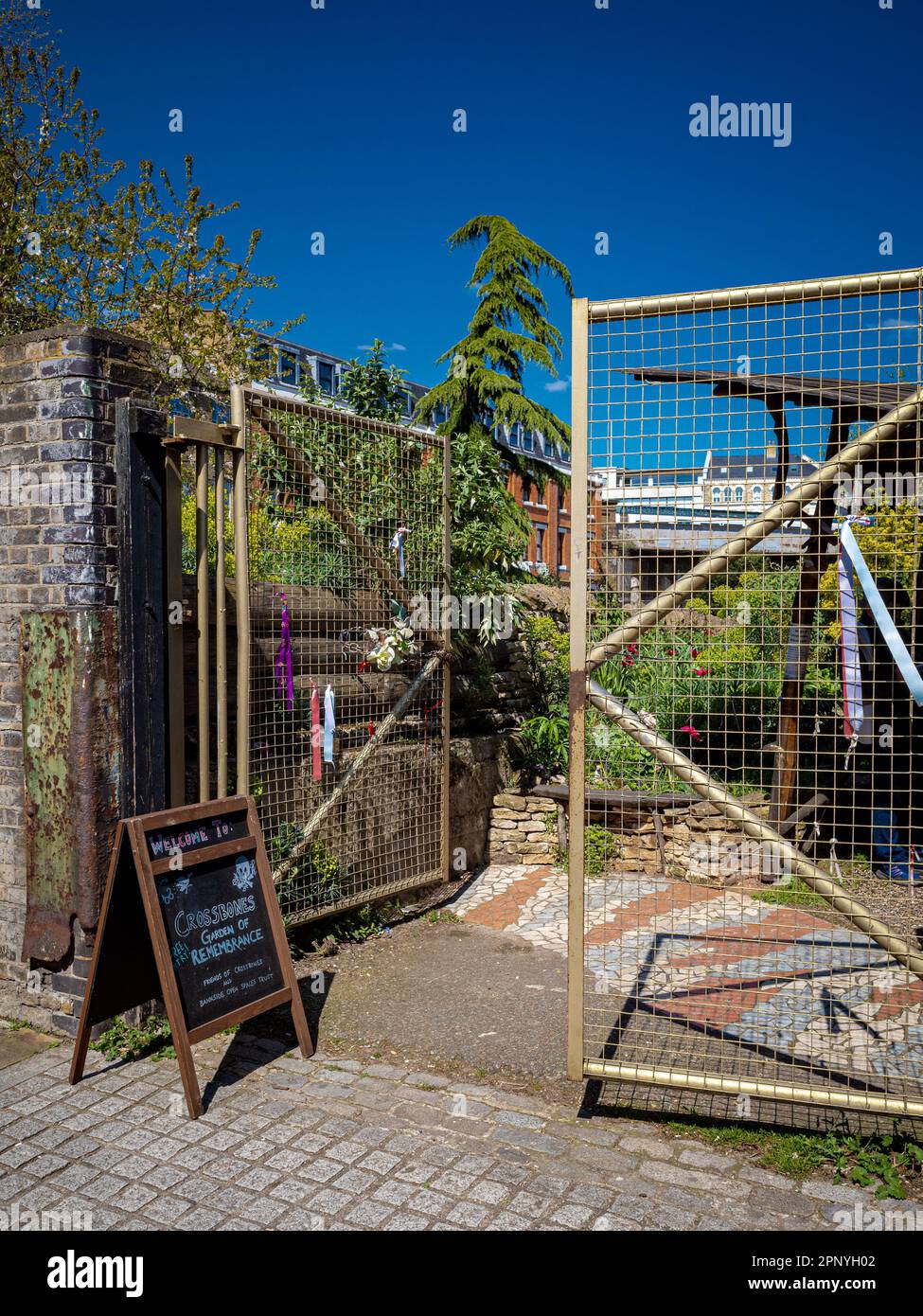 Burial Ground (Disused)Burial ground · 606 yd
 The Mansemanse · 782 yd
 1916 Rising Monumentmonument · 791 yd
 Bandon War MemorialMemorial · 946 yd
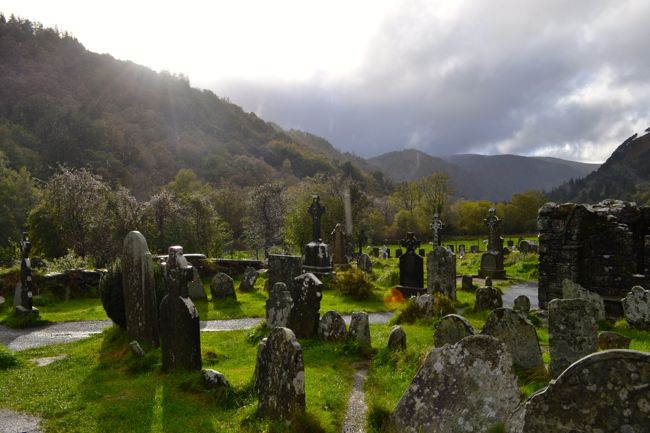 Graveyard in GullyGraveyard · 1363 yd
 Roche's WoodWood · 2.0 mi
 Cottage Road WoodWood · 2.3 mi
 Downdaniel Castle (in Ruins)Castle, tower house · 2.7 mi
 Marie LouiseWreck · 3.7 mi
 Carrighnassig Castle (Site of)Castle, unclassified · 3.7 mi
Other information
Photo: Credit not shown in the picture search · Rights wording not checked; contact us if this picture should be removed