
What is recorded here
Rectangular tower-house (13.5m NW-SE; 9.7m SW-NE) on N bank Bandon River at E side of junction with Brinny river. Field known as 'castle garden' on opposite bank of Brinny river and according to local tradition present course of river diverted from W side of this field. NW half of structure stands in poor repair to four storeys; elsewhere fallen except ground floor of SE wall. Base of NW and SW walls (Wth 1.8m) noticeably thinner than NE and SE walls (Wth 2.5m). Square-set window embrasures covered by segmental vaulted heads with inset gun loops in NW wall. Central 2nd floor window has single ogee-headed light. Deep vertical split on line of central windows in NW wall. Garderobe chute opening at S end of SE wall; according to Gillman (1897, 321) L-shaped garderobe chamber existed in S angle at 1st-floor level. Pointed, wicker-centred vault over 2nd floor (axis NW-SE) now partially fallen; mural passage visible on NE side of vault. Castle of Barry Og clan, which later passed to MacCarthy Riabhach (O Murchadha 1985, 54). According to local tradition built in 1476 (Bennett 1869, 103); probably rebuilt or repaired in 16th century. Nearby is site of 17th-century ironworks (CO097-049----). Incised stone (CO097-072----) found in 'castle garden' now relocated in nearby outhouse.
Rectangular tower-house (13.5m NW-SE; 9.7m SW-NE) on N bank Bandon River at E side of junction with Brinny river. Field known as 'castle garden' on opposite bank of Brinny river and according to local tradition present course of river diverted from W side of this field. NW half of structure stands in poor repair to four storeys; elsewhere fallen except ground floor of SE wall. Base of NW and SW walls (Wth 1.8m)…
From the National Monuments Service (Archaeological Survey of Ireland) record CO097-050002
The monument record does not grant public access. Check the route and ask the landowner before entering private land.
- What survives
- Recorded monument
Places near here
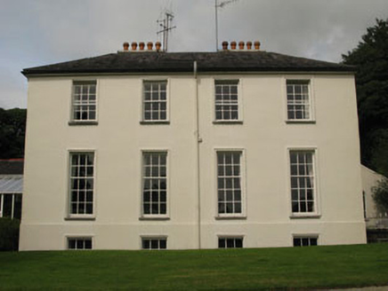 Dundaniel HouseCountry house · 250 yd
 Dundaniel HouseGate lodge · 395 yd
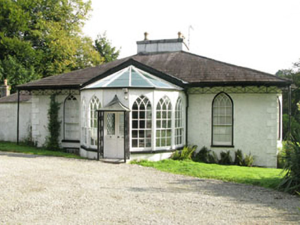 BelmontHouse · 495 yd
 Monterey Cypress510 yd
 tunnel512 yd
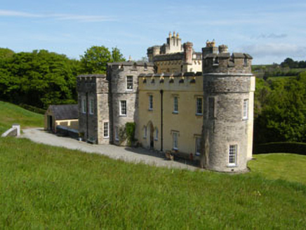 Cor CastleCountry house · 797 yd
 post box940 yd
 Skevanish CottageHouse · 968 yd
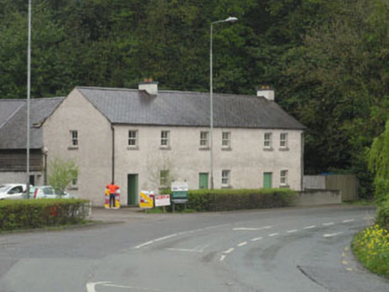 The ForgeHouse · 969 yd
 Kilpadder Burial Ground (Site of)Burial ground · 1.4 mi
 Castle BernardRuins · 4.0 mi
 White Castle (in Ruins)House, fortified house · 6.0 mi
Pictures: National Inventory of Architectural Heritage; Vadim Manuylov, Wikimedia Commons · CC BY-SA 3.0; Ralph Rawlinson, Geograph · CC BY-SA 2.0; Neville Goodman, Geograph · Creative Commons Attribution-ShareAlike 2.0; Mike Searle, Geograph · CC BY-SA 2.0; Garry Dickinson, Geograph · CC BY-SA 2.0
More castles and forts in County Cork · All of County Cork
What do you know about this place?