
What is recorded here
In early ecclesiastical enclosure (CO110-033001-). Irregular area enclosed to N and W by stone wall, and by stone-faced earthen bank to S. Many uninscribed grave markers in SE quadrant. Burial ground still in use.
The above description is derived from the published 'Archaeological Inventory of County Cork. Volume 1: West Cork' (Dublin: Stationery Office, 1992). In certain instances the entries have been revised and updated in the light of recent research.
Date of upload/revision: 14 January 2009
A local ancient tomb; wider significance not recorded.
The monument record does not grant public access. Check the route and ask the landowner before entering private land.
- What survives
- Recorded monument
Places near here
 Ecclesiastical enclosure in Clogheenavodig,cloghmacsimon ,knockanreagh,moanaroneEcclesiastical enclosure · 10 yd
 Carbury's WellSpring · 544 yd
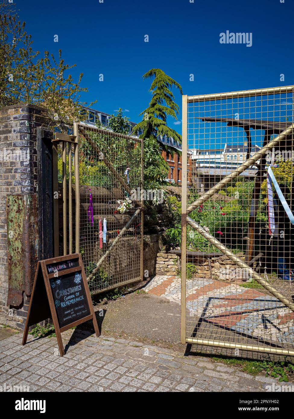 Burial Ground (Disused)Burial ground · 611 yd
 The Mansemanse · 792 yd
 1916 Rising Monumentmonument · 800 yd
 Bandon War MemorialMemorial · 955 yd
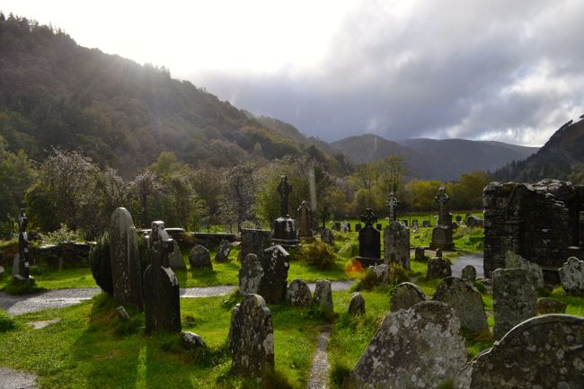 Graveyard in GullyGraveyard · 1372 yd
 Roche's WoodWood · 2.0 mi
 Cottage Road WoodWood · 2.4 mi
 Downdaniel Castle (in Ruins)Castle, tower house · 2.7 mi
 Marie LouiseWreck · 3.7 mi
 Carrighnassig Castle (Site of)Castle, unclassified · 3.7 mi
Other information
Photo: Credit not shown in the picture search · Rights wording not checked; contact us if this picture should be removed