What is recorded here
A circular tree-lined enclosure marked Fort on the 1837 map likely represents an earthen rath now hidden beneath pasture and landscape. The ground has been levelled, yet the shape still emerges in cropmarks above Richfort House. What looked like a decorative garden may have been a lived boundary, its depth forgotten but its line preserved in shadow and growth.
On a gentle SE-facing slope in pasture, c. 150m to the NE of Richfort House. Depicted as a circular tree-lined enclosure with the designation ‘Fort’ on the 1837 edition of the OS 6-inch map. The monument has been levelled and is not visible at ground level. However, it is identifiable as a cropmark on an aerial photograph (CUCAP, BGI 1). Possibly a rath that was landscaped as a tree-ring.
Compiled by: Patrick F. O'Donovan
Date of upload: 18 February 2012
The monument record does not grant public access. Check the route and ask the landowner before entering private land.
- What survives
- Recorded monument
Places near here
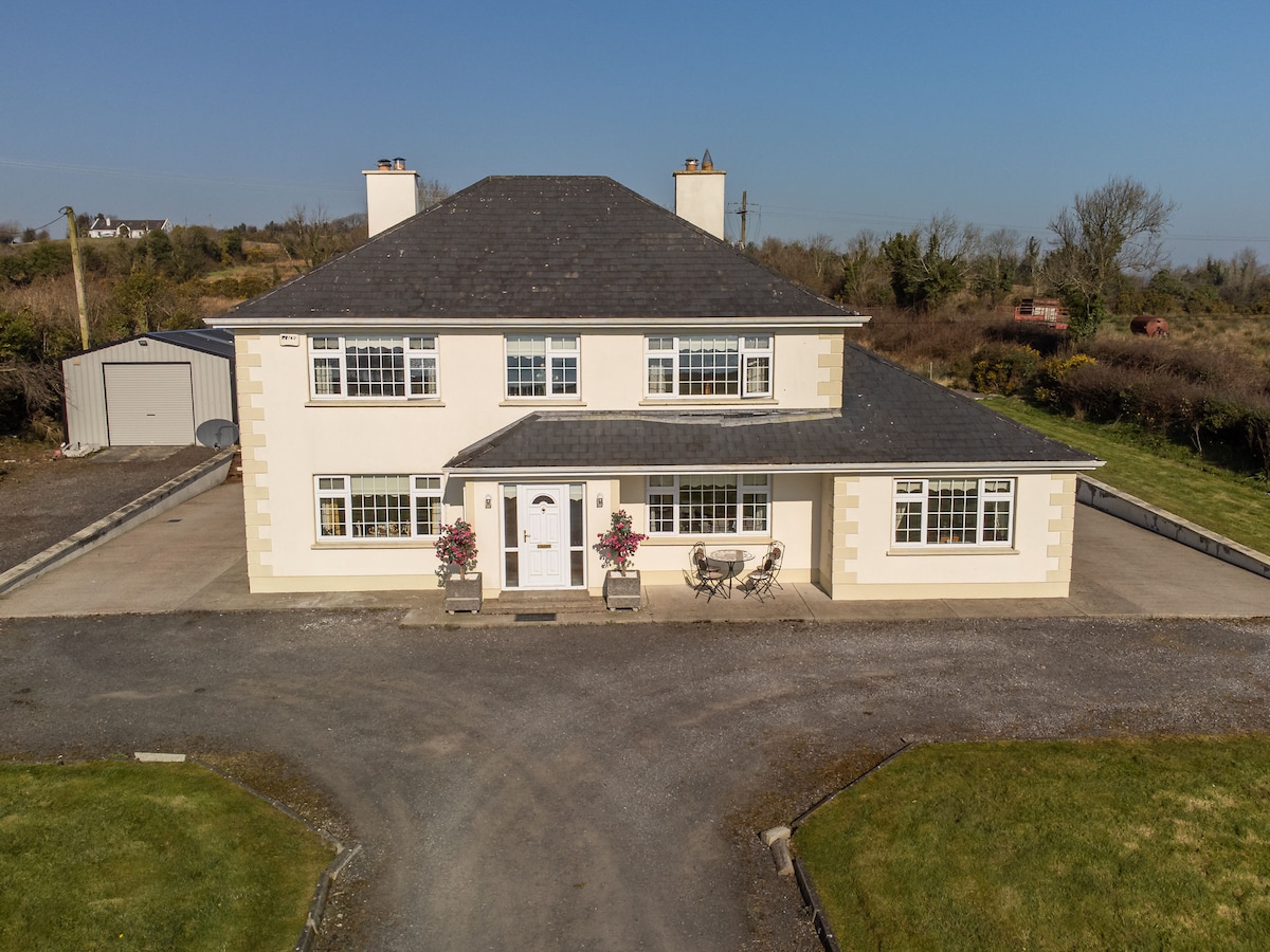 IndicatedFairy fort / earthen ringfort · 255 yd
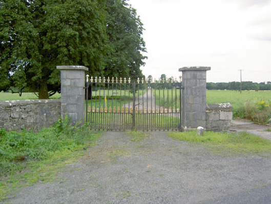 Richfortgates/railings/walls · 360 yd
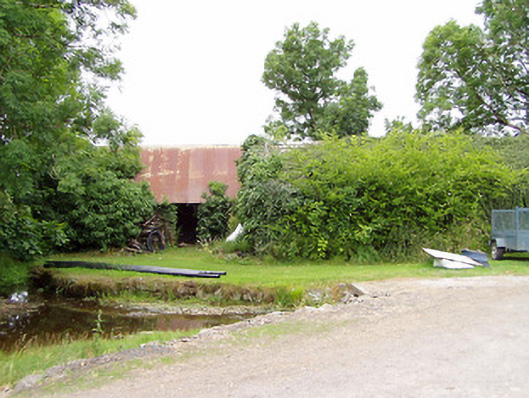 mill (water)mill (water) · 1274 yd
 LF014-104---- : Ringfort - rath : OLDTOWNArchaeological place · 1.1 mi
 Oldtown CopseWood · 1.2 mi
 Oldtown DemesneForest · 1.3 mi
 Ardagh DemesneFort · 1.6 mi
 Druming Ho. (in ruins)Castle, unclassified · 1.8 mi
 National Famine WayWalking route · 2.5 mi
 Graveyard in Curry (ardagh By., Coolamber Ed)Graveyard · 4.3 mi
 First World War MemorialMemorial · 4.5 mi
 Saint Mel's CathedralCathedral · 4.5 mi