What is recorded here
Grave Yard stands on the south edge of a narrow valley along the Naas to Glendalough pilgrimage route, its square stone-walled enclosure holding a ruined church, three cross slabs and gravemarkers from the nineteenth and twentieth centuries. Toberkevin, a holy well, lies a short distance to the east, suggesting the dead and the living once moved between water, prayer and remembrance in the same place. The overgrown ground does not hide so much as pause, keeping the route quiet and the names beneath it company for whoever walks past.
On the S edge of a narrow E-W valley, on the Naas to Glendalough pilgrimage route, with an old laneway (KD024-032----) just to the N possibly forming part of that route. Toberkevin, a holy well (KD-24-021----), lies c. 150m to the ESE. An almost square, overgrown area (c. 50m N-S; c. 50m E-W) is enclosed by a stone wall. Contains a ruined church (KD024-020----) in which three cross slabs (KD024-020002-, KD024-020003- and KD024-020004-) and fragment of a font (KD024-020005-) were recorded in 1985 (Healy SMR file). Legible gravemarkers date from 19th and 20th century.
Compiled by: Gearóid Conroy
Date of upload: 13 June 2012
The monument record does not grant public access. Check the route and ask the landowner before entering private land.
- What survives
- Recorded monument
Places near here
 Church in RuinsChurch · 6 yd
 ToberkevinHoly well · 197 yd
 Hilltop enclosure in TipperkevinHilltop enclosure · 384 yd
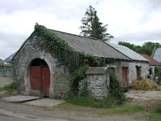 forge/smithyforge/smithy · 900 yd
 Blackhall Castle (in Ruins)Castle, tower house · 1.1 mi
 IndicatedCastle, tower house · 1.3 mi
 Sillagh Bog WoodForest · 1.8 mi
 Deer Park PlantationForest · 2.1 mi
 Councillor Jim MileyMemorial · 2.8 mi
 Proclamation of the Irish RepublicMemorial · 2.8 mi
 Poplar SquarePicnic place · 4.1 mi
 Lacken – Mass Path LoopWalking route · 5.3 mi