
What is recorded here
On W side of road. Part of settlement of 'Gneeves' indicated on 1842 OS 6-inch map. Front of 5 bays, central door with shallow porch, attic windows in left end wall. Hipped roof with thatch, central brick chimney. Two similar houses (15151, 15117) to N.
The above description is derived from the published 'Archaeological Inventory of County Cork. Volume 4: North Cork' (Dublin: Stationery Office, 2000). In certain instances the entries have been revised and updated in the light of recent research.
Date of upload/revision: 14 January 2009
The monument record does not grant public access. Check the route and ask the landowner before entering private land.
- What survives
- Recorded monument
Places near here
 IndicatedHouse, vernacular house · 271 yd
 Fulacht fia in CloonteensFulacht fia · 399 yd
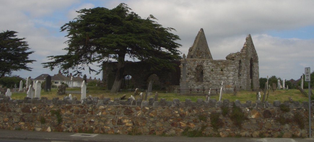 Burial ground in KilbarrahanBurial ground · 858 yd
 Roskeen Housecountry house · 1211 yd
 Castle Magner (in Ruins)Bawn · 1.1 mi
 Lohort CastleCastle, tower house · 1.2 mi
 Graveyard in Ballygiblin (duhallow By.)Graveyard · 1.7 mi
 European YewEuropean Yew · 2.1 mi
 Burial ground in AssolasBurial ground · 2.2 mi
 St Fursey's WellSpring · 2.9 mi
 Mount Hillary - Knightfield LoopWalking route · 2.9 mi
 Mount HillaryMountain / peak · 3.2 mi
Other information
Photo: Credit not shown in the picture search · Rights wording not checked; contact us if this picture should be removed