What is recorded here
Cloonteens held a twenty-five metre earthen ring on a gentle southern slope, visible enough for surveyors to map in 1842 before a straightened laneway cut through its heart. The field fence still bends near the northeast edge, remembering the circle that soil and traffic have since flattened. People may have lived inside that shallow scarped curve, raising children or arguing about weather while the sea breeze crossed the pasture. They are gone, but the fence keeps the shape alive.
In pasture, on gentle SW-facing slope. Depicted as hachured circular enclosure (diam. c. 25m) on 1842 OS 6-inch map, skirted by laneway NW->E. Site levelled and now cut by laneway which has been straightened. Interior (diam. c. 26m) raised and defined by slight scarp ESE->NW, on SW side of laneway; highest (H0.4m) SW->NW. Curve in field fence to NE respects site.
The above description is derived from the published 'Archaeological Inventory of County Cork. Volume 4: North Cork' (Dublin: Stationery Office, 2000). In certain instances the entries have been revised and updated in the light of recent research.
Date of upload/revision: 14 January 2009
The monument record does not grant public access. Check the route and ask the landowner before entering private land.
- What survives
- Recorded monument
Places near here
 Fulacht fia in CloonteensFulacht fia · 218 yd
 IndicatedHouse, vernacular house · 231 yd
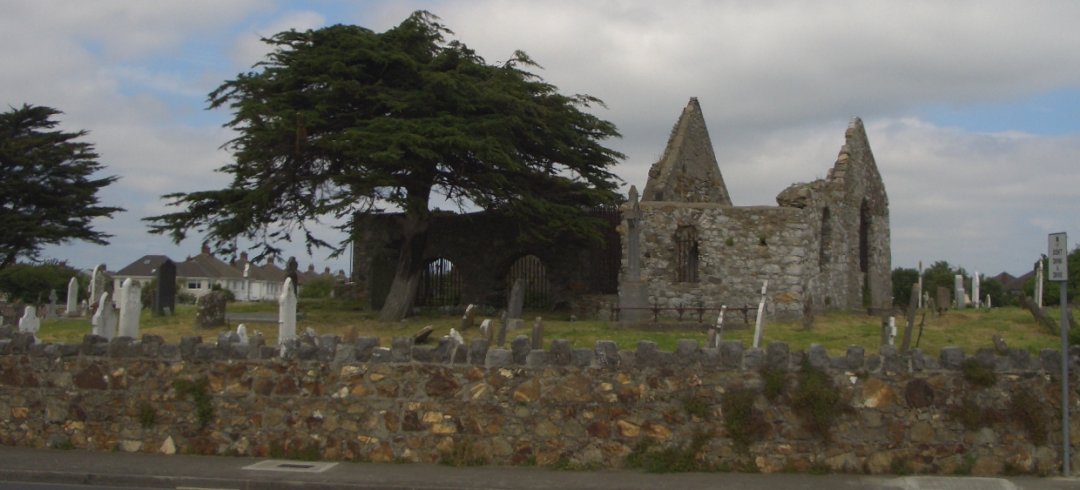 Burial ground in KilbarrahanBurial ground · 757 yd
 Roskeen Housecountry house · 1021 yd
 Castle Magner (in Ruins)Bawn · 1.2 mi
 Lohort CastleCastle, tower house · 1.3 mi
 Graveyard in Ballygiblin (duhallow By.)Graveyard · 1.8 mi
 European YewEuropean Yew · 2.1 mi
 Burial ground in AssolasBurial ground · 2.3 mi
 St Fursey's WellSpring · 2.8 mi
 Mount Hillary - Knightfield LoopWalking route · 2.8 mi
 Mount HillaryMountain / peak · 3.1 mi