What is recorded here
Indicated is a fairy fort or earthen ringfort in Cloonskeeveen, County Roscommon, Ireland. The circular grass-covered area sits towards the bottom of the south-facing drumlin slope. An earthen bank surrounds the interior, while an outer fosse cuts across the exterior. Four other raths stand within two hundred metres to the north, east and northeast.
Towards the bottom of the S-facing slope of a drumlin. Circular grass-covered area (diam. 34m N-S; 32m E-W) defined by an earthen bank (Wth 5.5-6.35; int. H 0.6m at E to 1.1m at N; ext. H 0.9-1.5m) WSW-N-ESE which is incorporated into a field bank WSW-NW, and a scarp (H 0.8m) elsewhere. There is an outer fosse (Wth of top 4.4-5.85m; Wth of base 1.7-2.85m; D 0.2-0.6m) NNW-E which is re-cut as a drain SW-NNW and E-S, but there is no visible entrance. Raths (RO011-023----); (RO011-024001-), (RO011-025----), and (RO011-027----) are c. 190m to the NW, c. 160m to the N, c. 140m to the NE and c. 80m to the ENE, respectively.
Compiled by: Michael Moore
Date of upload: 24 August 2010
The monument record does not grant public access. Check the route and ask the landowner before entering private land.
- What survives
- Recorded monument
Places near here
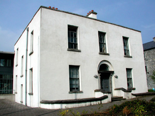 Áras an Chontaeprison governor's house · 765 yd
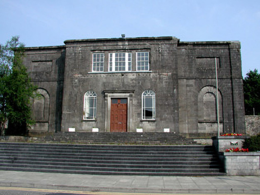 Carrick-on-Shannon Courthousecourt house · 781 yd
 Fortification in TownparksFortification · 1011 yd
 Embanked enclosureFairy fort / earthen ringfort · 1055 yd
 Moon RiverHeritage attraction · 1073 yd
 CastlecarraCastle, unclassified · 2.0 mi
 Hughestown WoodForest · 2.1 mi
 Patrick Gill Memorial Plaque (IRA)Monument · 4.2 mi
 Robert Strawbridge MemorialMemorial · 4.3 mi
 Castle (Site of)Castle, unclassified · 4.4 mi
 Wildlife AreaNature reserve · 4.5 mi
 Leabaidh DermotCave · 5.1 mi