
What is recorded here
Situated on the E bank of the river Shannon where it narrows passing through Carrick-on-Shannon. A fort of unknown form was built here in 1611, which survived into the 1650s at least when it had a complement of 20 men (Kerrigan 1980-2, 140; McDermott 2019, 123). It is not known when the fort became defunct but its remains were preserved within the precinct of the Royal Irish Constabulary barracks into the early twentieth century. The surviving fragment is depicted and described as a 'Castle (in Ruins)' on the OS 25-inch plan (surveyed 1907), but it was not recorded on the subsequent revision of the 6-inch map. A fragment of the wall (Wth 1.4m; H 1.4m) amounting to about a quarter of a circular tower survives close to the bridge over the Shannon. Archaeological testing (02E0039) c. 25m NE of this remnant identified a wall (Wth 0.8m) running N-S that may relate to the fort (Quinn 2004).
The above description is derived from 'The Archaeological Inventory of County Leitrim' compiled by Michael J. Moore (Dublin: Stationery Office, 2003). In this instance the entry has been revised and updated in the light of recent research.
Revised by: Paul Walsh
Date of upload: 8 November 2012
Amended: 24 September, 2013, 14 October, 2019
A local fairy fort (ringfort/rath); wider significance not recorded.
The monument record does not grant public access. Check the route and ask the landowner before entering private land.
- What survives
- Recorded monument
Places near here
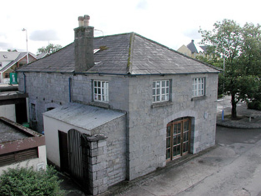 The Old Barrel Storestore/warehouse · 26 yd
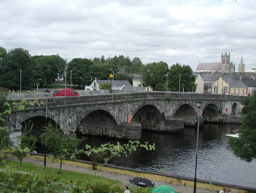 Carrick-on-Shannon Bridgebridge · 80 yd
 Moon RiverHeritage attraction · 80 yd
 Ecclesiastical enclosure in AttiroryEcclesiastical enclosure · 1542 yd
 IndicatedFairy fort / earthen ringfort · 1657 yd
 CastlecarraCastle, unclassified · 1.6 mi
 Hughestown WoodForest · 2.7 mi
 Patrick Gill Memorial Plaque (IRA)Monument · 3.7 mi
 Robert Strawbridge MemorialMemorial · 3.7 mi
 Wildlife AreaNature reserve · 3.9 mi
 Site of Dangan CastleCastle, unclassified · 4.3 mi
 Leabaidh DermotCave · 4.8 mi
Other information
Photo: Credit not shown in the picture search · Rights wording not checked; contact us if this picture should be removed