What is recorded here
Indicated as a circular enclosure only on the OS 25-inch map. It is situated on a gentle E-facing slope within the grounds of a school, but the area is now devoted to housing. No archaeological feature is visible at ground level in a largely open area. In the Ordnance Survey Field Memorandum of 11th May, 1945 the monument was described as a 'Lios (Site of)' which was 'The site of an ancient earthwork previously shown on OS maps as a fort. The earthwork has since been demolished' (OSFM).
Compiled by: Michael Moore
Date of revised upload: 14 October, 2019
The monument record does not grant public access. Check the route and ask the landowner before entering private land.
- What survives
- Recorded monument
Places near here
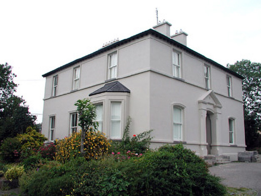 The Rectoryrectory/glebe/vicarage/curate's house · 196 yd
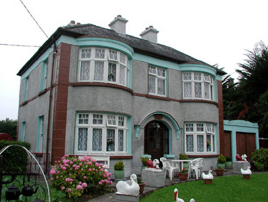 Hillcrest Lodgehouse · 267 yd
 Moon RiverHeritage attraction · 761 yd
 Fortification in TownparksFortification · 765 yd
 Ecclesiastical enclosure in AttiroryEcclesiastical enclosure · 1225 yd
 CastlecarraCastle, unclassified · 1.1 mi
 Hughestown WoodForest · 2.9 mi
 Patrick Gill Memorial Plaque (IRA)Monument · 3.4 mi
 Robert Strawbridge MemorialMemorial · 3.5 mi
 Wildlife AreaNature reserve · 3.7 mi
 Site of Dangan CastleCastle, unclassified · 4.3 mi
 Leabaidh DermotCave · 4.4 mi