What is recorded here
Fairy forts are often called raths or hill forts, though they predate human settlement. Cloonfide holds one such oval ring, its low bank still visible in pasture despite lost ditches and a strange central stone spread. The shape resists easy explanation, inviting imagination rather than certainty.
In low-lying, level pasture. A raised oval area (c. 40m NE-SW; c. 34m NW-SE) enclosed by a partially denuded, low bank of earth and stone (Wth 2.2-2.4m; H 0.3-0.4m). A report in 1976 (SMR file) recorded an intervening fosse with a low outer bank, both of which have since been levelled. It also noted that the original entrance was at SE and that there was a low, irregularly shaped, spread of loose stones, of unknown significance, in the centre of the interior.
Compiled by: Patrick F. O'Donovan
Date of upload: 26 August 2011
The monument record does not grant public access. Check the route and ask the landowner before entering private land.
- What survives
- Recorded monument
Places near here
 Kilbally Holy WellHoly well · 710 yd
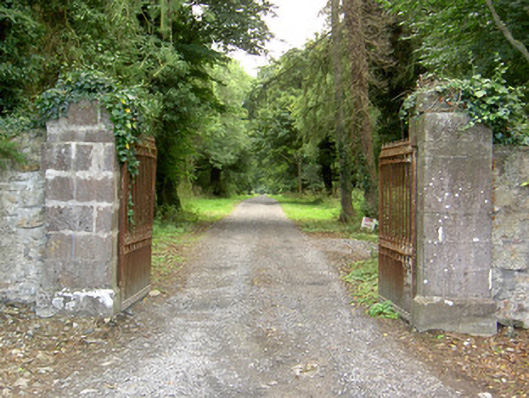 Doory Hallgates/railings/walls · 796 yd
 Mornin Castle (in Ruins)Castle, tower house · 878 yd
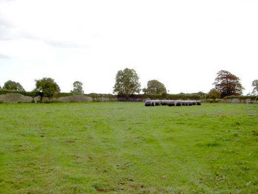 Park Placewalled garden · 967 yd
 IndicatedFairy fort / earthen ringfort · 1185 yd
 DoonphilipCastle, motte · 1703 yd
 Newcastle WoodsForest · 3.1 mi
 National Famine WayWalking route · 3.2 mi
 Target WoodWood · 3.4 mi
 Corlea Bog Walk Canal BranchWalking route · 4.0 mi
 Corlea Trackway Interpretative CentreHeritage attraction · 4.3 mi
 European BeechEuropean Beech · 4.9 mi