What is recorded here
Cloonevit hides a circular fort beneath wet pasture, visible only on an 1837 map rather than through grass. The land swallowed the ridge, yet human hands shaped that ring before the water claimed it.
In low-lying, wet pasture. Depicted as a circular enclosure with the designation 'Fort' on the 1837 ed. of the OS 6-inch map. The monument is not visible at ground level.
Compiled by: Patrick F. O'Donovan
Date of upload: 26 August 2011
The monument record does not grant public access. Check the route and ask the landowner before entering private land.
- What survives
- Recorded monument
Places near here
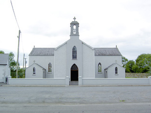 Saint Mary's Catholic Churchchurch/chapel · 667 yd
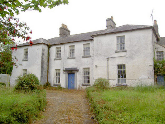 Glebe Houserectory/glebe/vicarage/curate's house · 1202 yd
 Site of Kers GraveMegalithic tomb · 1207 yd
 Enclosure in Moydow GlebeEnclosure · 1213 yd
 Bawn Castle & NunneryHouse, fortified house · 1.2 mi
 Bawn in CastlereaBawn · 1.3 mi
 National Famine WayWalking route · 1.5 mi
 Graveyard in Curry (ardagh By., Coolamber Ed)Graveyard · 1.8 mi
 First World War MemorialMemorial · 4.0 mi
 Saint Mel's CathedralCathedral · 4.1 mi
 Commons North WalkVisitor information · 8.1 mi
 Wild birdsVisitor information · 8.1 mi