
What is recorded here
On a gentle E-facing slope in undulating pasture. A report in 1986 (SMR file) recorded a raised subrectangular area (40m NE-SW; c. 35m NW-SE) enclosed by a wide low bank of earth and stone with a shallow external fosse, which was only identifiable at the NW and SW sides. The original entrance was not recognisable. The monument has since been levelled.
Compiled by: Patrick F. O'Donovan
Date of upload: 14 November 2012
A local fairy fort (ringfort/rath); wider significance not recorded.
The monument record does not grant public access. Check the route and ask the landowner before entering private land.
- What survives
- Recorded monument
Places near here
 Church in Moydow GlebeChurch · 73 yd
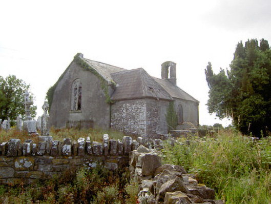 Moydow Churchchurch/chapel · 88 yd
 BarrowBarrow, bowl-barrow · 973 yd
 Enclosure in MollyroeEnclosure · 1236 yd
 Bawn Castle & NunneryHouse, fortified house · 1334 yd
 Bawn in CastlereaBawn · 1347 yd
 National Famine WayWalking route · 1731 yd
 Graveyard in Curry (ardagh By., Coolamber Ed)Graveyard · 2.4 mi
 First World War MemorialMemorial · 4.1 mi
 Saint Mel's CathedralCathedral · 4.2 mi
 Commons North WalkVisitor information · 8.8 mi
 Wild birdsVisitor information · 8.8 mi
Other information
Photo: Credit not shown in the picture search · Rights wording not checked; contact us if this picture should be removed