
What is recorded here
In pastureland. On the 1837 ed. of the OS 6-inch map this feature is shown some 60m to the SE of the position recorded on the 1914 ed. In 1837 O'Donovan recorded that there was then in this townland a 'giant's grave fifteen feet [c. 4.6m] long which should be shewn on the map' (OSL, 76). The name 'Site of Ker's Grave' applied to it on the 1837 ed. suggests that the feature may have been destroyed shortly after it was recorded in the OSL. There are no remains at the position indicated on the 1914 OS 6-inch map. At the position shown on the 1837 edition, immediately N of a field fence, a rectangular area (c. 30m E-W; 12m N-S) is distinguished from the rest of a large pasture field by its uneven surface and patches of nettles.
Compiled by: Eamon Cody
Date of upload: 27 February 2012
The monument record does not grant public access. Check the route and ask the landowner before entering private land.
- What survives
- Recorded monument
Places near here
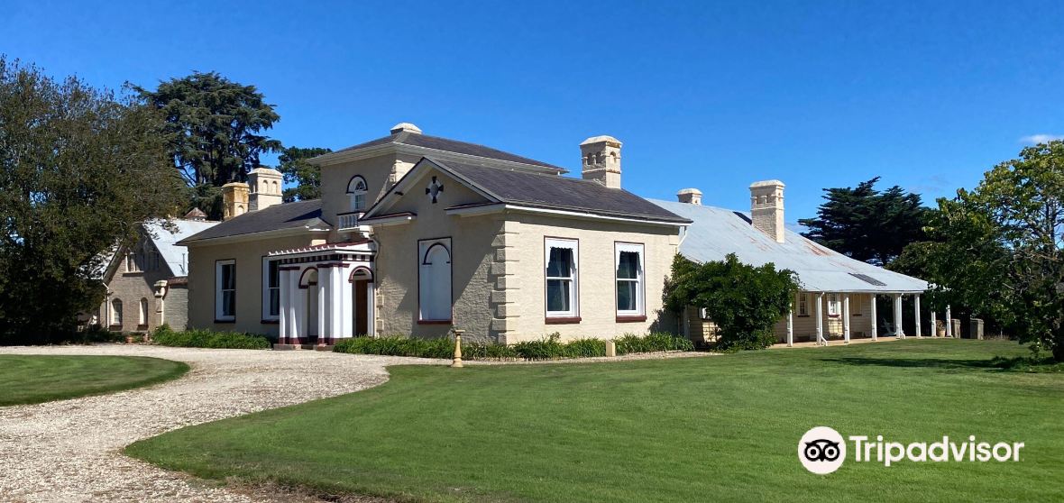 Enclosure in CaldraghmoreEnclosure · 1522 yd
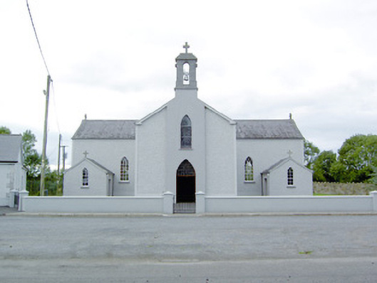 Saint Mary's Catholic Churchchurch/chapel · 1684 yd
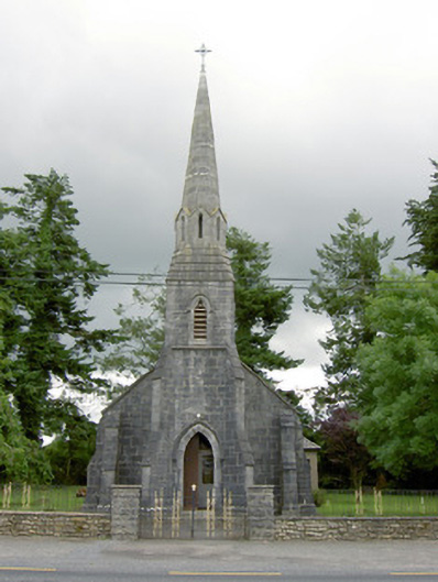 Saint Anne's Catholic Churchchurch/chapel · 1.1 mi
 Enclosure in MountjessopEnclosure · 1.2 mi
 Graveyard in Curry (ardagh By., Coolamber Ed)Graveyard · 1.5 mi
 Bawn Castle & NunneryHouse, fortified house · 1.9 mi
 Bawn in CastlereaBawn · 1.9 mi
 National Famine WayWalking route · 2.1 mi
 First World War MemorialMemorial · 4.1 mi
 Saint Mel's CathedralCathedral · 4.2 mi
 Commons North WalkVisitor information · 7.4 mi
 Wild birdsVisitor information · 7.4 mi
Other information
Photo: Credit not shown in the picture search · Rights wording not checked; contact us if this picture should be removed