What is recorded here
Fairy fort / earthen ringfort in Clonkill is a fairy fort or earthen ringfort in Clonkill, County Westmeath, Ireland. Situated on top of a prominent hillock, the site was recorded as having good views in all directions. A small raised circular area, approximately 17 metres in diameter from east to west, is enclosed by a low earth and stone bank. A shallow external fosse, which has been infilled from east through southeast, surrounds the bank, and a 1.6-metre-wide entrance gap is located at the east.
Situated on top of a prominent hillock with good views in all directions. A small raised circular shaped area (approx. diam. 17m E-W) enclosed by a low earth and stone bank and a shallow external fosse that has been infilled from E-SE, with entrance gap (Wth 1.6m) at E. The interior rises towards the centre.
See attached profile of monument surveyed and drawn by the ASI.
Compiled by: Frank Coyne and Caimin O'Brien
Date of upload: 12 March 2018
The monument record does not grant public access. Check the route and ask the landowner before entering private land.
- What survives
- Recorded monument
Places near here
 Partially indicatedFairy fort / ringfort · 612 yd
 Hut site in ClonkillHut site · 851 yd
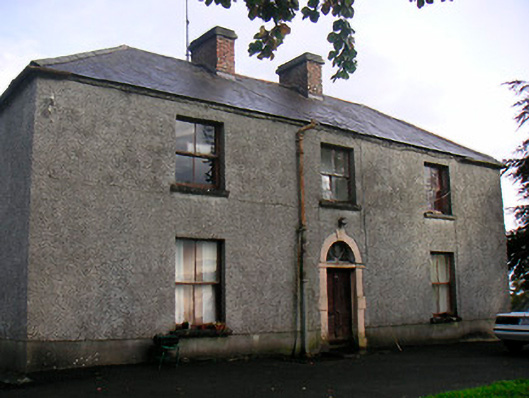 Newgrove Housefarm house · 1594 yd
 CastleCastle, motte · 1.5 mi
 Church in ruinsChurch · 1.5 mi
 Taghmon CastleCastle, tower house · 1.7 mi
 Long PlantingForest · 3.1 mi
 GinkgoGinkgo · 3.9 mi
 Saint Brigid's WellSpring · 4.4 mi
 United Nations War MemorialMemorial · 4.7 mi
 Church IslandIsland · 4.8 mi
 The Chimera GalleryGallery · 5.1 mi